Bridging Vision and Reality
Industry insights to elevate your project designs.
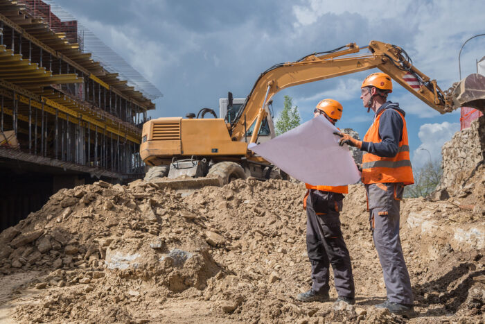
In today’s intricate design landscape, accuracy is paramount. Every decision, from infrastructure development to environmental projects, hinges on precise data and visuals. Computer-aided design (CAD) drawings play a crucial role in mitigating the risks associated with visualizing complex site details and overcoming potential setbacks. TRC can bridge the gap between your vision and the detailed insights that will bring it to life.

Accurately Communicate Your Project Details with TRC’s CAD Design Expertise
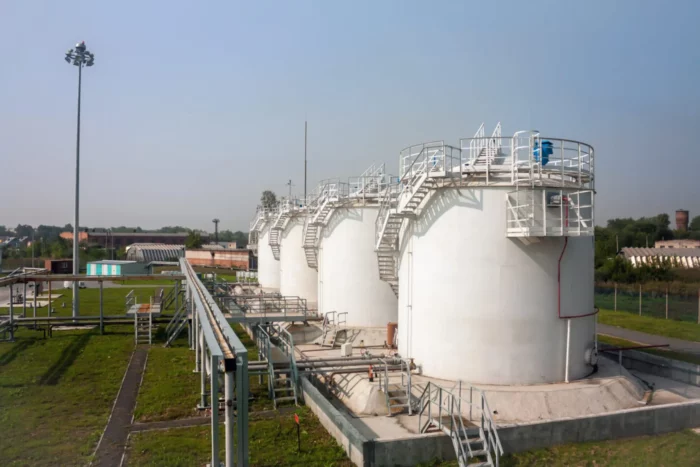
Whether you are developing a simple site map for a remediation project, creating a conceptual site design for a proposed solar field, or are calculating the remaining airspace in a landfill, you need detailed and accurate data, visual aids and 3D CAD modeling solutions from experts who deliver detail, accuracy and valuable industry insights to elevate your designs.
TRC’s CAD experts deliver drawings and visual aids that are precise and detailed, helping you accurately communicate your designs to your clients. We prepare comprehensive construction drawings, surface water drainage and impoundment features, complex grading design models, and more. We deliver detailed and accurate data, plan sheets and figures for use in the field and provide 3D models of design surfaces and construction documentation points.
Our CAD design services go beyond drawings and include valuable insight into your project and data management methods to improve efficiency based on our designers’ broad backgrounds and years of experience.
We have CAD designers with backgrounds in environmental and electrical engineering, traditional site civil design, renewables, landfill design and construction, surveying and transmission line design. Because the backbone of any site design project, simple or complex, with TRC, you get a comprehensive view, including accurate 3D modeling of the existing site, data compiled from historical documents, traditional topographic surveys, flyover/drone surveys, LIDAR and point cloud data, and existing CAD drawings, so we can build your design based on a solid foundation of information.
Manage Data and Visualize Your Projects With Our CAD Design Solutions
TRC’s CAD design services go beyond draws to include r insight into efficient data management methods that streamline your processes and, ultimately, enhance project outcomes. Our team helps you leverage the power of 3D models and visualizations to present concepts clearly to stakeholders. Our services include:
Import and Analysis of Existing Site Data
- Creation of topographic surfaces
from varied data sources - Import and analysis of topographic
survey information - Incorporation of LIDAR and point
cloud data
Site Civil Design
- Slope Stability Analyses
- Civil Roadway Design
- Cut/Fill Balance Analyses
- Storm Water/Drainage Systems
- Erosion Control Management Plans
- Site Grading Layouts
- Details and Cross Sections
- Contractors surface models for use
- in earth moving equipment
- Cut-and-fill analyses
- Pond capacity volumes
- Airspace calculations
- Earthwork quantities

Sharing Our Perspectives
Our practitioners share their insights and perspectives on the trends and challenges shaping the market.

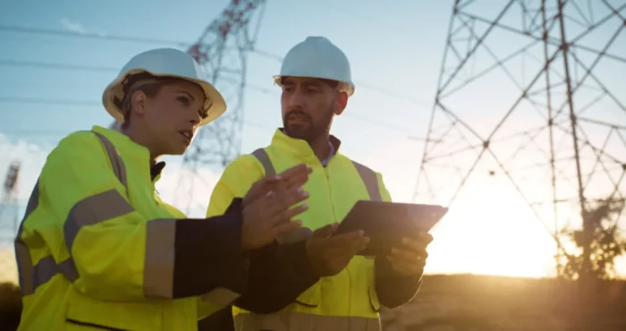
Connecting Project Data for Better Capital Project Delivery
June 17, 2026
Disconnected systems don’t just create administrative headaches. They directly impact project outcomes, delay decisions, increase the risk of cost overruns and limit the visibility leaders need to manage large capital programs effectively.[
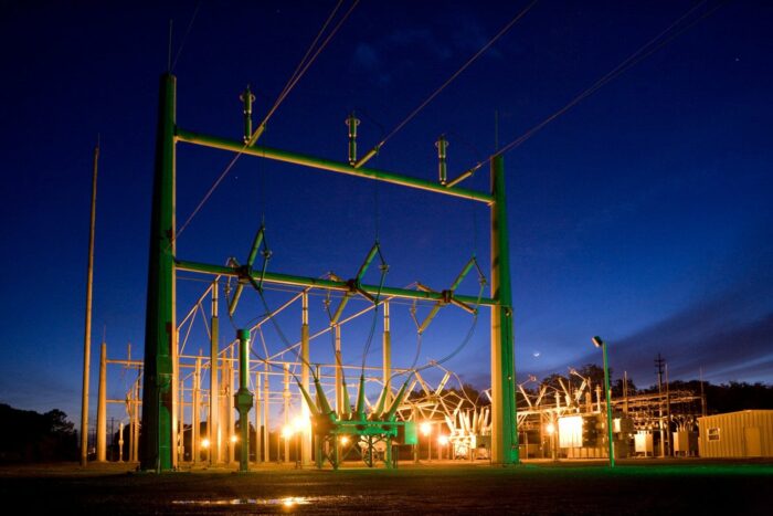


Stay on Time and Budget: 5 Key Strategies to Avoid Transmission Line Delays
August 6, 2025
Transmission line projects are the backbone of a modern, reliable power grid—essential for unlocking renewable energy, meeting soaring demand, and keeping the lights on. Yet for utility managers, these builds are a high-stake balancing act.

Budgeting to Quality: Construction Project Mistakes & How to Fix Them
April 9, 2025
Managing a construction project is a challenging job that involves careful planning, coordination and problem-solving. Small mistakes cause delays, increase costs, or create safety issues. Learn more about how to avoid some of the most common mistakes in construction management so your projects stay on track and within budget.

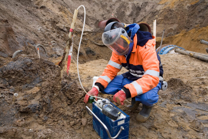
The Power of Precision: Quality Control Tactics for Utility Construction Success
February 14, 2025
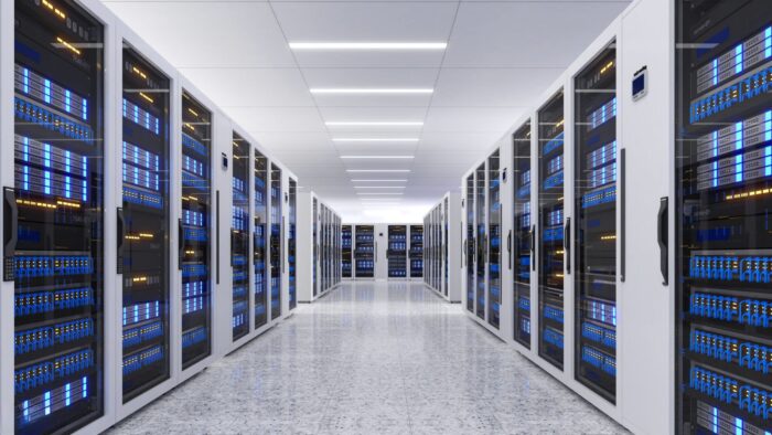
In today’s digital age, data centers form the backbone of cloud computing, artificial intelligence and the vast array of digital services we rely on daily. As the demand for data centers rises, companies are racing to expand these facilities.
The Importance of Effective Construction Management in Data Centers
January 7, 2025
In today’s digital age, data centers form the backbone of cloud computing, artificial intelligence and the vast array of digital services we rely on daily. As the demand for data centers rises, companies are racing to expand these facilities.
Planning for Construction Project Success: Common Challenges and How to Overcome Them
September 19, 2024
Construction project planning and scheduling are critical but complex processes that can lead to delays, cost overruns and quality issues. Success requires proper stakeholder communication, resource management, safety prioritization, regulatory compliance and innovative tools and techniques throughout the project’s life, from start to completion.


Modeling: Convincing Visualizations Are Key to Successful Projects
December 5, 2022
This presentation provides guidance on steps and methods to utilize 3D and other visualization software to present complex sites and illustrate solutions to complex problems, such as remedial solutions and future site development. These methods involve 3 key concepts: data management coordination, conceptual site modeling and visual clarity. TRC’s experts also breakdown the different types of visualization software and their applications to specific scenarios.
TRC Ranked No.42 on Ground Engineering Magazine’s Top 50 Geotechnical Consultants Firms in the UK
November 1, 2022
TRC has been named #42 by Ground Engineering Magazine in the 2022 Top 50 Geotechnical Consultants Firms ranked by turnover in the UK market.

TRC Brings Environmental Services to Manchester with Second UK Office
March 5, 2020
In continuing to expand our presence in a key British market, TRC is opening our second UK office in Manchester, England