

- Geodetic Control Surveys
- Boundary Surveys
- Topographical Surveys
- Certified Plats and Boundary Descriptions
- Rapid GIS Easement Exhibits, Maps and Sketches
- High-Definition Survey Terrestrial Laser Scanning
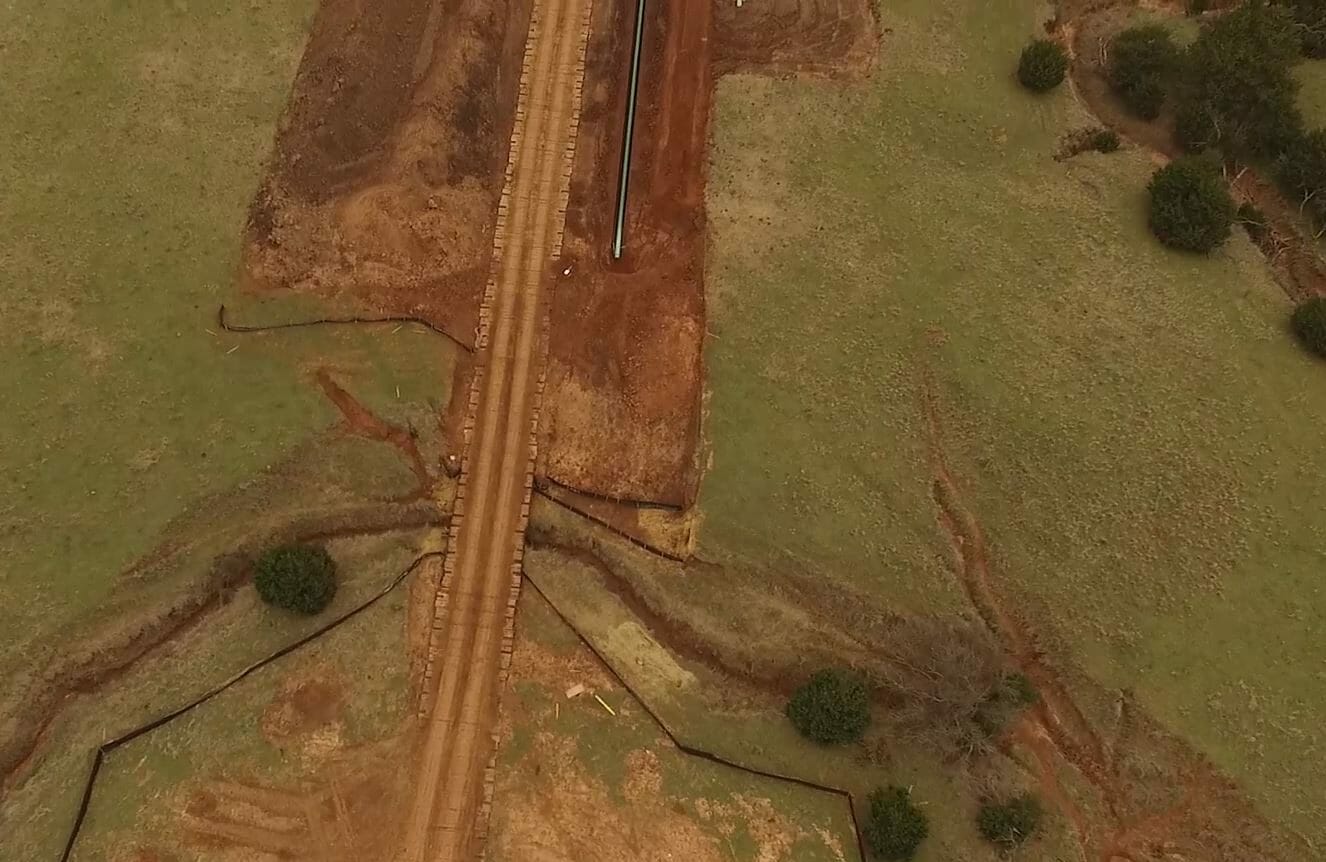
- UAV/Drone surveys and inspections
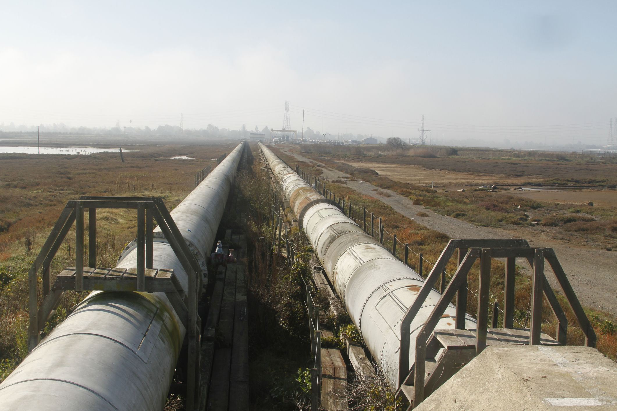
- Hydrographic Surveys
- Mapping Grade GIS Inventory Surveys
- Mapping data collection
- FEED/TIC Estimating
- Routing Support solutions
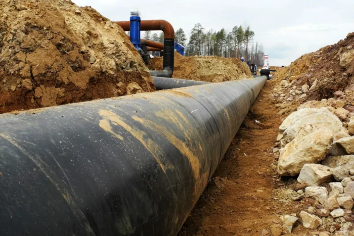
- Quantity Surveys
TRC’s survey team provides tailored assistance throughout your project’s lifecycle: