Site loading image

Insights

Environmental Site Assessments for Forest and Rural Properties

Jennifer Churgin-Brown | July 25, 2023

The ASTM International (ASTM) E1527 Standard Practice for Environmental Site Assessments: Phase I Environmental Site Assessment Process and the ASTM E2247 Standard Practice for Environmental Site Assessments: Phase I Environmental Site Assessment Process for Forestland or Rural Property are similar standards and share most of the same requirements. ASTM E2247 is intended to be an alternative approach to ASTM E1527 for forestland or rural property when some of the methodologies outlined in ASTM E1527 may be impractical or unnecessary due to the nature and size of the property.

Learn More About TRC's Environmental Site Assessment Services

When to Apply ASTM E2247

Large acreage properties on forestland or rural settings, including solar and/or wind sites and utility corridors used for transmission lines or pipelines, are typically the best candidates to use ASTM E2247. The ASTM E2247 standard is intended to provide a more practical approach to these larger properties. However, the environmental professional should decide which ASTM standard to follow considering not only the nature and size of the property, but also typical environmental concerns, readily available sources for interviews and records reviews, appropriate methodologies to perform the site reconnaissance, and client requirements or preferences. Land that does not meet the definition of forestland or rural properties should be addressed using the methodologies provided in ASTM E1527. However, the presence of buildings at a property does not necessarily exclude land from meeting the definition of forestland or rural properties, as these areas may contain structures such as residences, barns, sheds, garages and greenhouses.

Three Key Differences Between ASTM E1527 and E2247

It is important to note how these two environmental site assessment standards differ to successfully complete the project.

  1. The definitions of a recognized environmental condition. ASTM E2247-16 and ASTM E1527-13 share the same definition of a recognized environmental condition. The recent ASTM E1527-21 revised the definition.

Under ASTM E2247-16, a recognized environmental condition is defined as the presence or likely presence of any hazardous substances or petroleum products in, on, or at a property: (1) due to any release to the environment; (2) under conditions indicative of a release to the environment; or (3) under conditions that pose a material threat of a future release to the environment.

Under ASTM E1527-21, a recognized environmental condition is defined as (1) the presence of hazardous substances or petroleum products in, on, or at the subject property due to a release to the environment; (2) the likely presence of hazardous substances or petroleum products in, on, or at the Subject Property due to a release or likely release to the environment; or (3) the presence of hazardous substances or petroleum products in, on, or at the Subject Property under conditions that pose a material threat of a future release to the environment.

These differences in the definitions should not materially impact what are identified as concerns or affect how the environmental professional identifies concerns. However, they are the reason that stating a Phase I ESA was conducted in accordance with both standards is not appropriate. For example, if a small convenience store is located within a larger area being assessed using ASTM E2247, it would be more appropriate to state E1527 methodologies were used to assess the convenience store as opposed to stating the whole report meets both standards.

  1. Methodologies required to complete site visits. The environmental professional is required to establish appropriate methodology to complete the site visit under both standards. However, ASTM E1527 recommends a grid pattern or symptomatic approach be used and that both the interior and exterior portions of onsite buildings are visually inspected. As ASTM E2247 is typically used for larger properties, the recommended methodology is to view the property via publicly accessible roads and pathways or flyover. Prior to conducting the site visit, areas of interest should first be identified via review of aerial photographs, environmental database documentation and other sources. Areas of the property visually inspected during an ASTM E2247 site visit include areas that can be seen from roads and pathways, areas of interest that have not been ruled out as concerns by interviews and the exteriors of structures at the property. ASTM E2247 does not require that the interiors of structures be assessed but leaves this up to the opinion of the environmental professional.
  2. Listed Standard Historical Resources. ASTM E1527 lists aerial photographs, topographic maps, fire insurance maps, local city directories, building department records, interviews, property tax files and zoning and land use records. ASTM E2247 only lists aerial photographs and topographic maps.

The size of properties for which we use ASTM E2247 necessitates that historical resource information gathered is presented differently than in an ASTM E1527 report. Standard database packages can accommodate properties that are 640 acres or less. Many of the larger renewable energy development for which ASTM E2247 is used are more than 640 acres and are comprised of multiple parcels. For these properties, an Area Study Report is needed. The Area Study Reports do not contain physical setting information. This information will need to be obtained from other resources as part of the Phase I ESA. However, in the case of solar and/or wind projects, this information may be gathered as part of other scope items within the project.

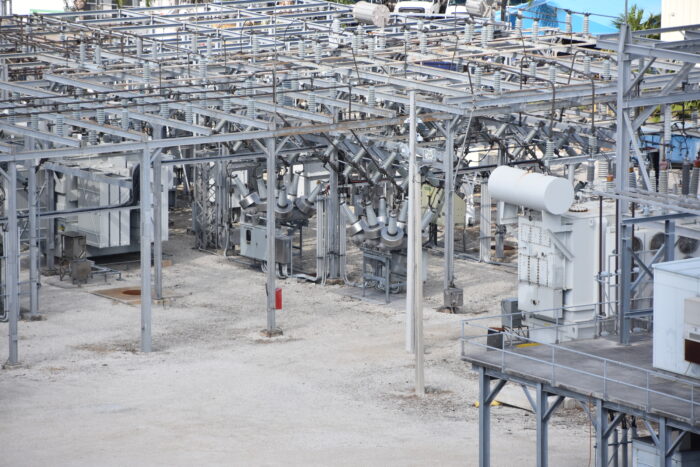
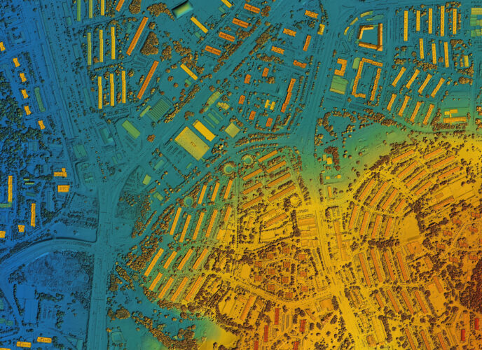
Aerial photographs and topographic maps can be ordered as tiffs or prints. Preferably, aerial photographs and topographic maps should be ordered as tiffs. An expert GIS consultant from TRC can electronically stitch the aerial photographs and topographic maps together using GIS referencing data that is accessed via webviewer. The use of a webviewer allows the team to view these resources more effectively and allows the report writer to zoom in and out for better visibility while describing the resources. If aerial photographs and topographic maps are ordered as prints, the report writer must manually piece the flight lines together, which is problematic for reuse in updates and in reviews. EDR Lightbox only works for standard packages and does not allow an online review of aerial photographs and topographic maps for these larger sites.

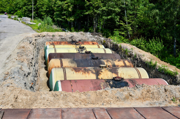
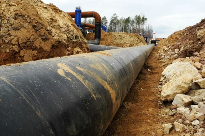
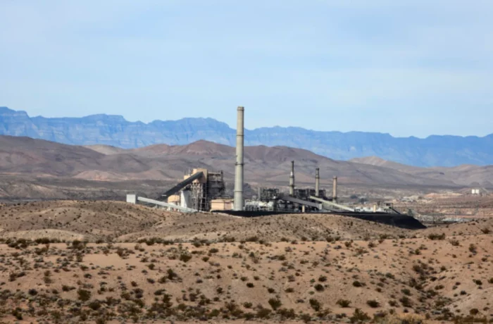
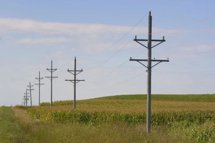
ASTM E2247 does not require that city directories or fire insurance maps are obtained. Many of the properties contained in the larger forestland and rural properties sites do not have addresses and have no fire insurance map coverage; therefore, these resources are not particularly helpful. If environmental professionals choose to order city directories for an entire site, they should make sure to include all streets within the footprint of the site. In the event specific parcels within a site appear to present an environmental concern, obtaining city directory information along cross streets for these isolated portions of the site can be useful to determine specific parcel ownership and utilization history. Because larger properties assessed using ASTM E2247 are commonly located in rural areas, TRC’s GIS experts note the presence of cemeteries and orchards on aerial photographs, Google Earth imagery and topographic maps as these property uses present potential environmental concerns. We also identify pipelines and oil and gas wells via online resources (e.g., website maintained by applicable state and federal agencies).

EDR must provide individual quotes for database materials on a per project basis for larger sites. These also need to be ordered through your EDR representative as opposed to the website directly. Frequently, providing a shapefile of the site to the environmental database firm contact is necessary to obtain an accurate quote.

Reporting and Communication Methods

After the site visit and research is complete, it should be noted that the report template for ASTM E1527 and ASTM E2247 Phase I ESAs are similar. However, the size of the properties involved in ASTM E2247 Phase I ESAs presents a challenge to clearly communicate observations. In these cases, a tabular summary of information on a per parcel basis may better communicate concerns identified. The table should be included as an appendix to the report and can be referenced in the report for a more streamlined presentation. For proposed solar and/or wind projects where the client may not have finalized the footprint, this per parcel summary allows clients to eliminate problematic parcels from purchase or plan development around concerns.

Contact Our Environmental Site Assessment Experts Today

Next Steps

TRC recommends that ASTM E2247 be considered when assessing large forestland and rural properties. However, for projects where the use of ASTM E2247 is most appropriate, the project manager should be budgeting for proper costs to obtain data, time required to complete a webviewer and the additional time required to address a larger site. The timeline to complete an ASTM E2247 Phase I ESA as described is approximately four to six weeks.

How TRC Can Help

Our team has performed thousands of environmental site assessments for a variety of clients including lending institutions, real estate developers and buyers and sellers of industrial and commercial properties. Our Phase I ESA professionals and Transaction Advisory Services team provide our clients with a high quality, thorough and detailed assessment designed to limit future environmental liability, and to satisfy due diligence requirements.

Contact Our Expert Below to Learn More.

Jennifer Churgin-Brown

Ms. Churgin-Brown has over 25 years of environmental consulting experience, covering a broad spectrum of industrial operations and EH&S concerns in more than 30 countries. She managed and/or was a member of the technical team for projects, which included mergers & acquisitions (M&A) and Phase I and II Environmental Site Assessments (ESAs; Phase I and II projects involved individual properties and multi-national portfolios); baseline environmental assessments (BEAs) and due care compliance documentation (Michigan-only product); remediation; EH&S regulatory compliance audits; compliance services (including the preparation of Spill Prevention Control and Countermeasures [SPCC] Plans, Stormwater Pollution Prevention Plans [SWPPPs], Toxic Release Inventory [TRI] and Tier II reporting, and air permitting); storm water and wastewater assessments and permitting; hazardous building materials surveys; asbestos operations and management plans; asbestos abatement oversight; and industrial hygiene. Contact Ms. Churgin-Brown at JChurginbrown@trccompanies.com.

Learn More From Our Technical Experts

TRC's Center of Research and Expertise (CORE) is a multidisciplinary team led by proven subject matter experts in over 30 specialized technical areas. Our monthly CORE newsletter shares valuable insights on emerging technologies, significant challenges and innovative solutions present in many industries across the world. Our experts also share how they use their unique skills and experience to solve client issues and support our communities and the environment.

Sign Up Today →

Looking for effective solutions to your problems?

Turn to the experts at TRC.

By clicking "Accept", you agree to the storing of cookies on your device to enhance site navigation, analyze site usage, and assist in our marketing efforts. Read our Privacy Policy.