This article was originally authored by Locana, which is now part of TRC.
Modern geospatial solutions connect systems and improve the ability to leverage data at superior scale, speed, and accuracy

Modernization requires IT/OT integration
2024 marks a year of significant transition for utilities across the US. Increased energy demand, investments in clean energy and renewables, distributed energy resources (DER), and emerging prosumers (producer + consumer) have significantly impacted the industry.
Indeed, according to Deloitte, energy demand is expected to triple by 2050, and numerous electric utilities have committed to cut carbon emissions by 80% by 2030. According to Wood Mackenzie’s 2023 report, the US DER market is expected to nearly double capacity from 2022 to 2027.
These market impacts have spurred the need for modernization, including information technology/operational technology (IT/OT) integration. By combining IT and OT controls and processes into a seamless environment, companies can take advantage of vast data collected from sensors, IoT devices, and operational assets in a way never imagined.
But knowing where to begin, how to proceed, and dealing with the technical complexities can present a slew of challenges. That’s where geospatial solutions provide a distinct advantage. Leveraging location-based technology to optimize IT/OT integration, companies can benefit from massive amounts of previously unusable data.
Large volumes of operational data become a challenge to process and access in real-time unless filtered by time or location. Once aspects of temporal or spatial filters are applied, real-time integrations become feasible and efficient. Accessing real-time sensor or device readings from maps and virtual reality environments reduces errors, data volumes, and redundancy while increasing accuracy, timeliness, and completeness. Ultimately, with more high-quality data available for decision support, organizations can improve operational efficiency, streamline workflows, and lower costs.
Decision makers today have access to many systems. What they need is access to more real-time data using fewer interfaces. By maximizing the power of modern IT capabilities with OT systems, decision makers are able to integrate the full breadth of their data into their workflows, which in turn leads to cost and operational efficiencies and streamlined workflows.

Location connects IT and OT
As the power industry prepares for increased demand and prioritizes clean and renewable energy generation such as solar, wind, and hydro, companies are modernizing their IT. This modernization includes employing smart grid technologies that incorporate bidirectional data. As a result, these same businesses seek to exploit operational systems and data from sources such as Supervisory Control and Data Acquisition (SCADA), Advanced Distribution Management Systems (ADMS), and Advanced Metering Infrastructure (AMI).
By taking advantage of IT applications and interfaces that integrate data from OT monitoring and control systems, organizations can operate more efficiently to meet demand, reduce outages, and improve how they distribute energy safely and reliably. Decision makers can access real-time sensor data and operational data coming from devices on the grid and combine them with other IT data sources for new insights. They can visualize dynamic data and overlay it with real-world conditions on the ground for true situational awareness.
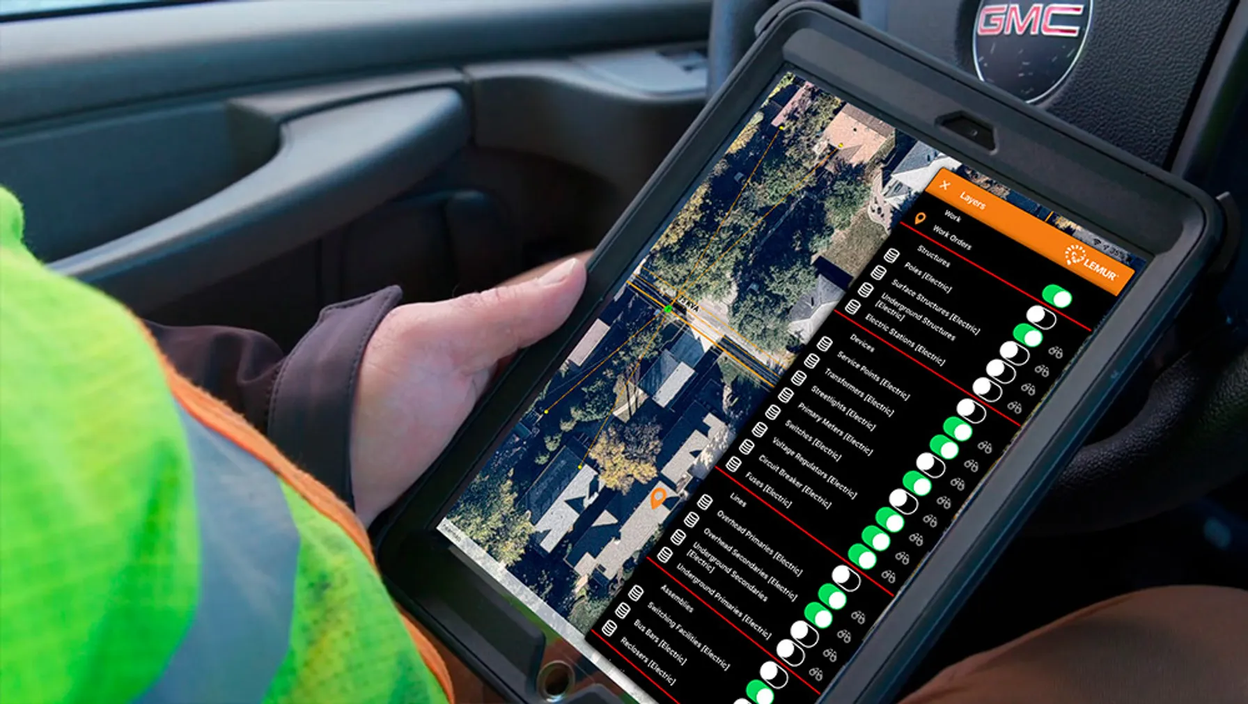
Instead of viewing a table of sensor readings, staff can view a map with sensor readings on specific devices at their exact locations, with layered information that includes properties, land, weather, traffic, demographics, and more. Real-time data feeds can be linked into a geospatial context to develop a comprehensive picture of what’s happening.
When you unify your IT/OT infrastructure using location-based solutions, you streamline and optimize previously disconnected systems. That’s because information of every sort has a location, and leveraging operational systems and building and extending intelligent grids involves sensors that capture current location-based data.
For example, an OT system might store data on a transmission line simply as a straight single line, yet that line spans across many different communities from farms to factories to urban centers. Integrating attribute information into the geometry of the asset provides rich intelligence to everyone, no matter the application, accessing that data. SCADA schematics alone fall short of providing that level of understanding and insight.
Optimize your IT/OT with geospatial solutions
Location-based technology can play a vital role in all aspects of IT/OT optimization and grid modernization, including renewables, ADMS, and IoT. Specifically, geospatial solutions can be applied in four application areas to remove complexity and streamline your enterprise ecosystem.

Your IT/OT integration partner
TRC can help energy providers looking to modernize and integrate the IT/OT systems. Our consultants, technologists, project managers, designers, developers, and industry experts bring in-depth knowledge and skills built on decades of experience. TRC Companies has the additional investment and engineering expertise, including everything from AMI 2.0 to ADMS to OMS.
TRC has partnered with clients in the US and worldwide, prioritizing “owning the customer mission” and listening first. Customers benefit from agile methodologies, scrum, and other client-first project management methods that employ a proven delivery model tailored to the project needs. These methodologies ensure lower acquisition and total ownership costs and on-time, on-budget, and on-target project delivery. Open communication and collaboration through all stages of the project lifecycle, including post-implementation training and support, provide full transparency.
With TRC as your trusted GIS partner, you gain:
- Deep energy industry knowledge and experience working with clients
- Technical IT/OT, geospatial, and cutting-edge technology expertise
- A proven track record of delivering self-sustaining, self-sufficient projects
- Personnel dedicated to transparency, communication, and ownership
- Solutions, packages, and patterns that accelerate time-to-value
Visit today to learn more about who we serve, what we do, and the solutions we offer.


