


TRC serves as innovation partners with clients to design enterprise systems, engaging experiences, and innovative architectures.
Improve Operations and Infrastructure, Increase Resiliency and Enhance Performance
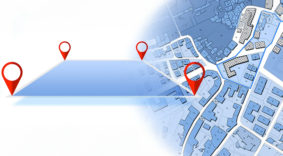
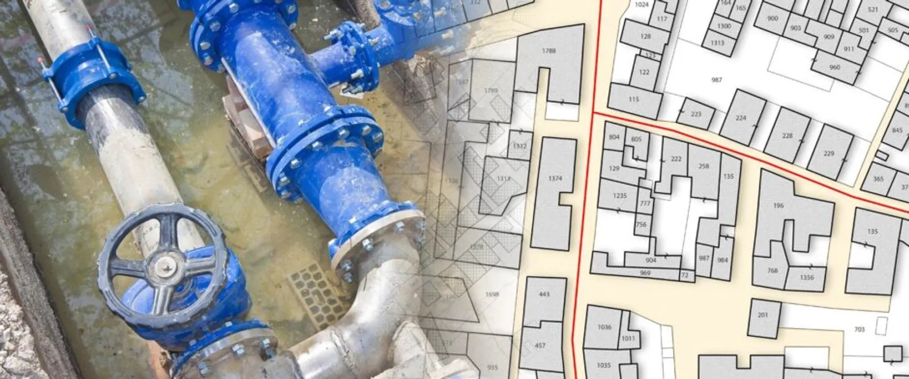
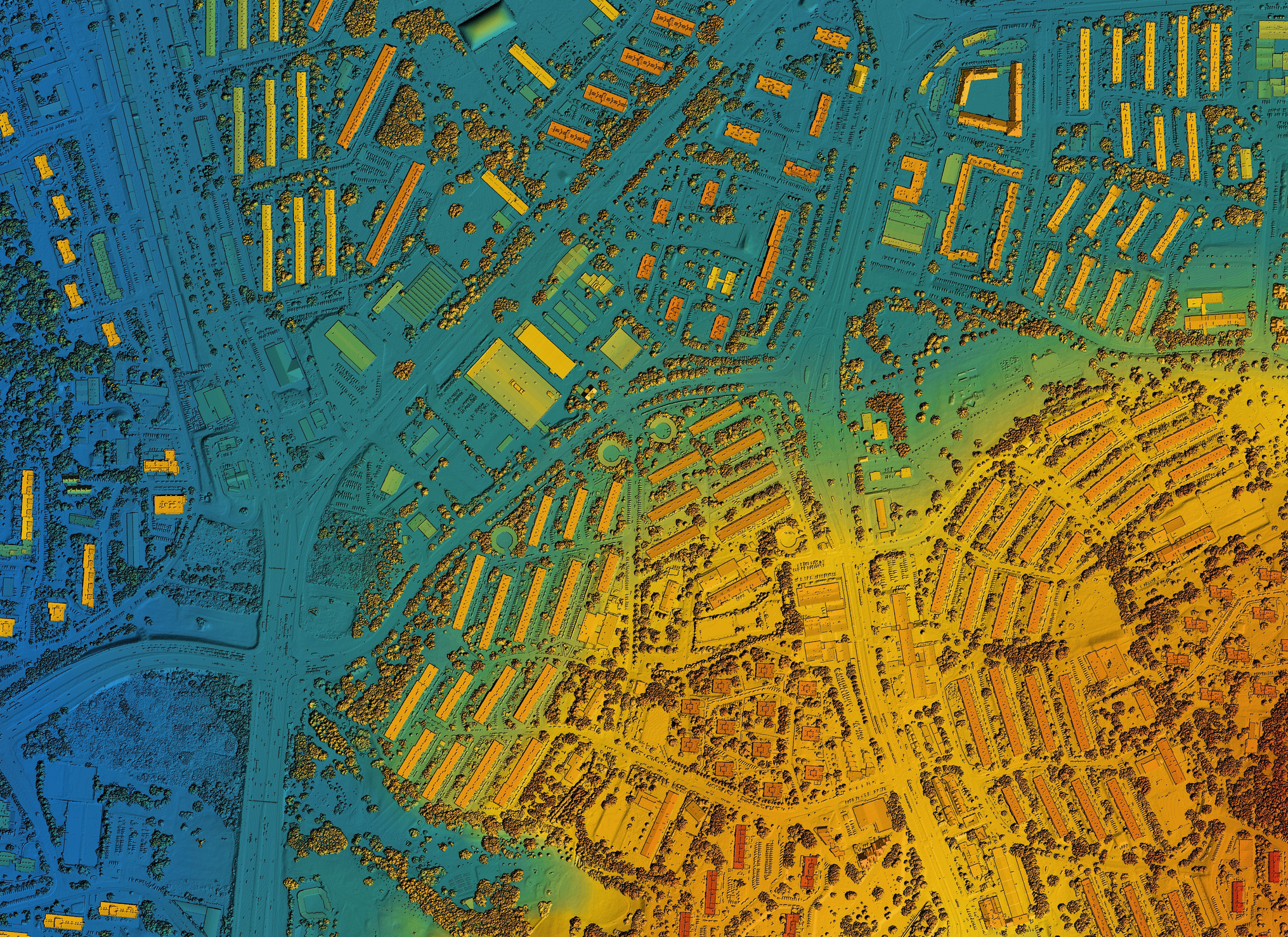
Navigating the dynamic landscape of GIS technology to improve decision-making across the enterprise.
In today’s digital world, many companies struggle with assembling location-based data and performing analytics that meet organizational needs. Add cybersecurity concerns and legacy systems that often lack compatibility with modern geographic information system (GIS) technologies, such as the Esri platform, and it becomes difficult to carry out business functions.
TRC offers reliable GIS services to transform location data into usable insights. We work with developers, infrastructure companies, utilities, government agencies and other organizations of various sizes. Our services meet each client’s unique needs, from strategic planning to systems integration, application development and field data collection.

Gain Advanced Tools and Expertise in Geographic Information Systems
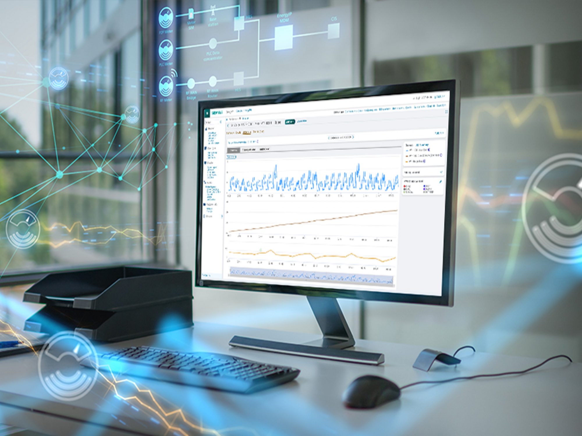
TRC’s tested practitioners possess the technical skills and industry knowledge to analyze, plan and design robust enterprise systems as well as custom solutions to meet your business needs. We understand how to create, organize and analyze data to help you make better decisions about your infrastructure, operations and customers.
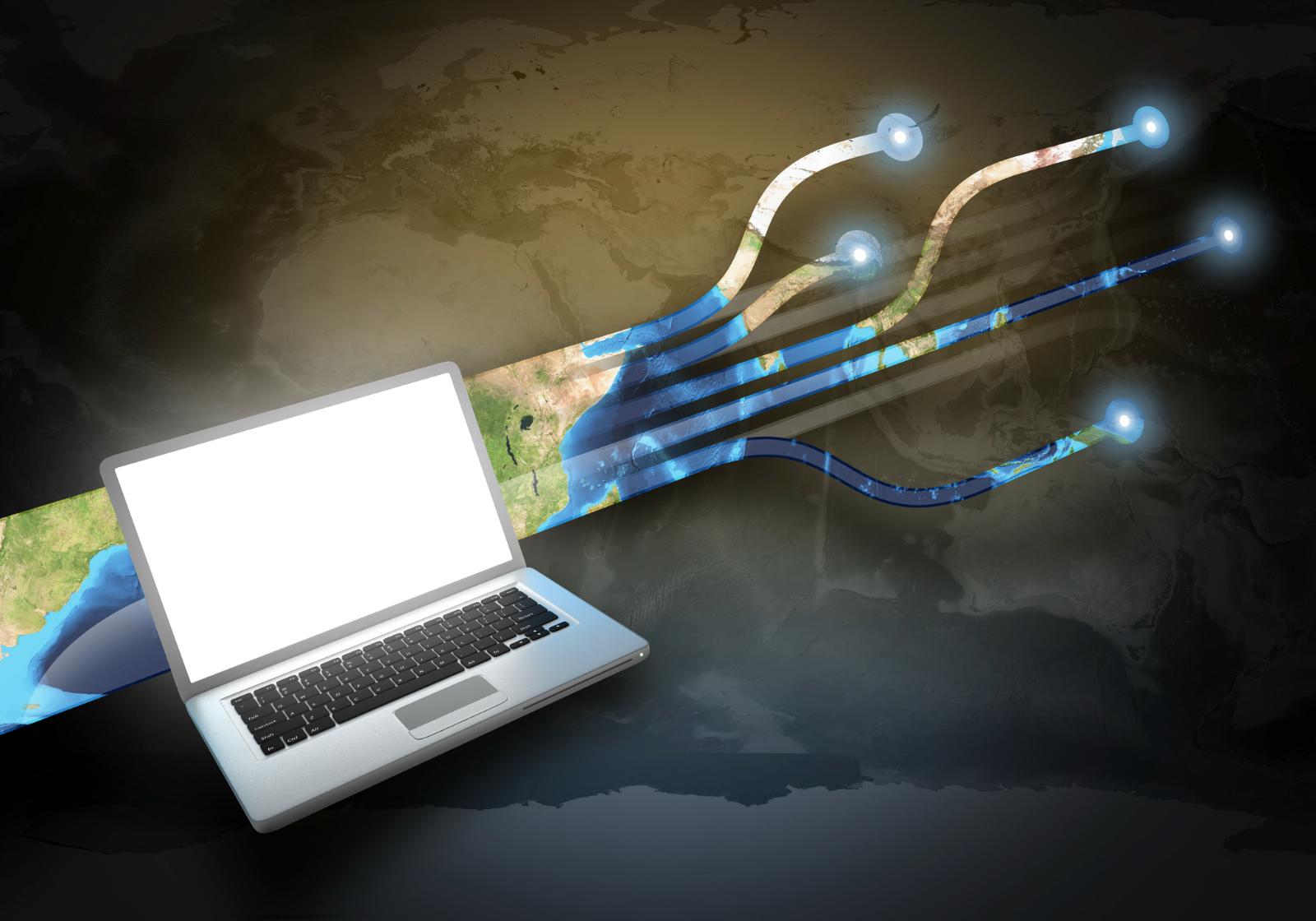
By leveraging modern geospatial software solutions, we continue to develop technologies like artificial intelligence (AI) and machine learning (ML), cloud-native architectures, Lemur mobile mapping, and advanced data management. These innovations help modernize IT and digitally transform operations using location-based solutions.

Tailored Geospatial Solutions for More Informed Decision Making
Turn your geographic data into usable information with TRC. We offer a full range of services from system design to agile software development, data pipeline production, field surveys, managed services, as well as implementation of the Esri ArcGIS Utility Network. Whether a municipal utility or a Fortune 100 company, clients benefit from tailored solutions and continuous communication.
The Spectrum Of Services
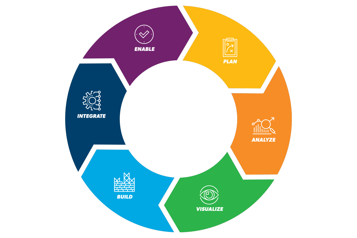
We build, automate, and optimize data models, warehouses, lakes, and pipelines that enable analytics.
We help companies deploy algorithms and models that visualize complex information to reveal patterns and insights.
TRC can develop, configure, and customize solutions that include predictive analytics, dashboards, web, and mobile applications.
We seamlessly and securely connect systems, including Esri, SAP, Salesforce, OSISoft, Maximo, Oracle, SBS, and more.
TRC’s approach to technology transfer and client ownership ensure delivery excellence and adoption success.
Strategy and Solutions
Whether evaluating GIS as part of a modernization initiative, optimizing your current GIS system and applications, or standardizing on a single platform, TRC can help. Our services increase operational efficiency and performance and include:
- Business process/workflow development
- Delivery best practice development
- Regulatory/compliance review
- Governance (standards, policy, documentation creation and review)
- Gap assessments and analysis
- Software selection
- Technology roadmap
- Business case (ROI, budget and risk)
- Change management and adoption
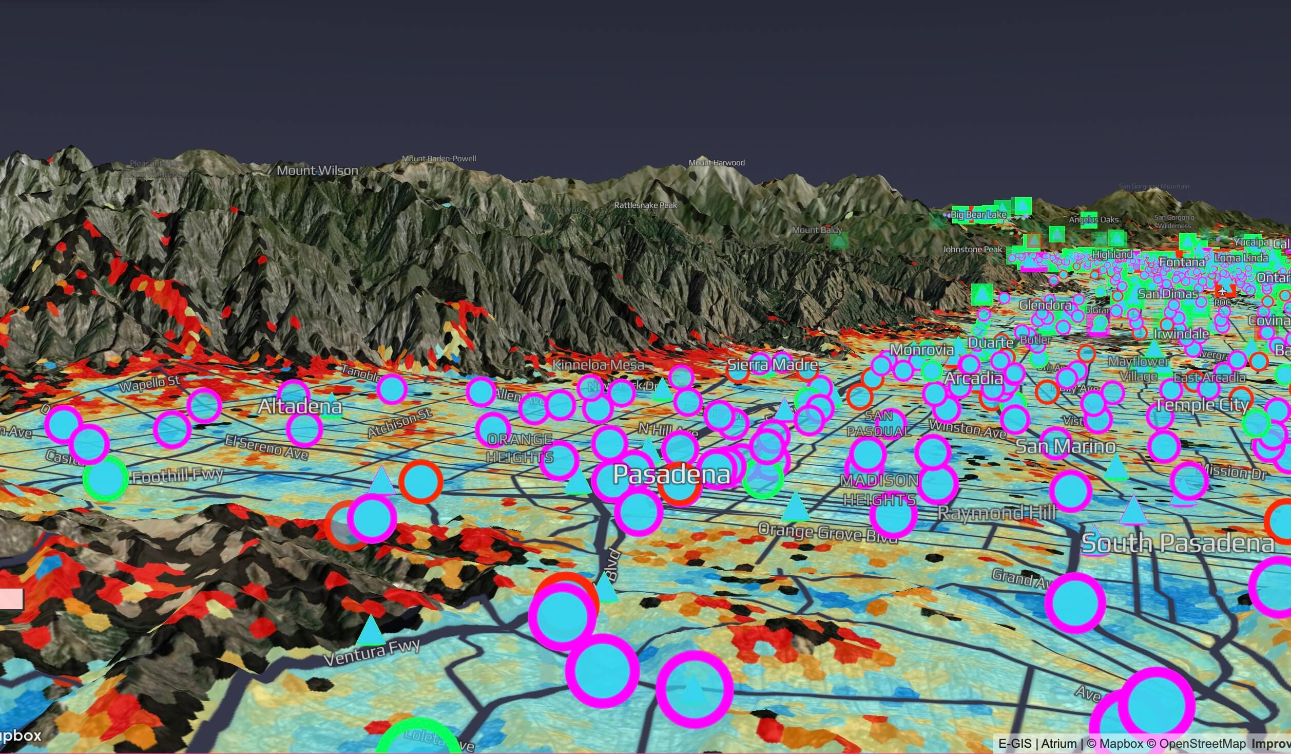
- Environmental justice data interpretation and mapping
- Climate resiliency analysis and mapping
- Linear route planning

Data Services
Achieve any data objective, from capture to creation, validation, enrichment and visualization, including data with the proper oversight, automated tools and rigorous testing. We give you the insights to identify patterns and trends within geospatial data, increasing the value of this resource. Our data services include:
- Database modeling and design
- Data governance
- Data sourcing (mining, collection, acquisition)
- ETLs (transformations and migrations)
- Automated conflation
- Data validations and cleanup
- Network connectivity
- Data maintenance
- Business rule discovery and documentation
- Quality assurance (QA)/quality control (QC)
- Database development and management
- Site suitability, siting analysis and critical issues analysis

Implementation, Integration, and Configuration
Build, connect and configure geospatial capabilities. From enterprise systems to mobile applications, open-source solutions to commercial software, we can support you with an integrated, scalable environment of real-time systems and applications, including:
- Esri platform
- Cloud (AWS, Azure)
- Field/mobile solutions
- Dashboards and visualizations
- Asset management solutions
- Combined IT/OT solutions
- Web map and app development
- Project impact/alternatives analysis
- Integrations
- Enterprise resource planning (ERP)
- Customer relationship management (CRM)
- Work order management (WMS)
- Enterprise asset management (EAM)
- Maintenance management
- Computer-aided design (CAD)

Managed/Agile Services
Take the pain out of hosting, administering and securing software. TRC offers a full suite of support services to reduce the burden of managing and maintaining enterprise GIS and connected systems:
- Cloud application hosting (AWS, Azure)
- ArcGIS Enterprise
- Portals/dashboards
- Custom solutions
- Field/mobile solutions
- Service-level agreement (SLA) support
- Agile GIS Teams
- Program/project managers
- Consultants
- Developers
- Specialists
- Analysts
- Technicians
- Visualization (view sheds, line of sight, visual impact assessments, 3D photo simulations)
- Renewable site development/permitting support

Field Collection
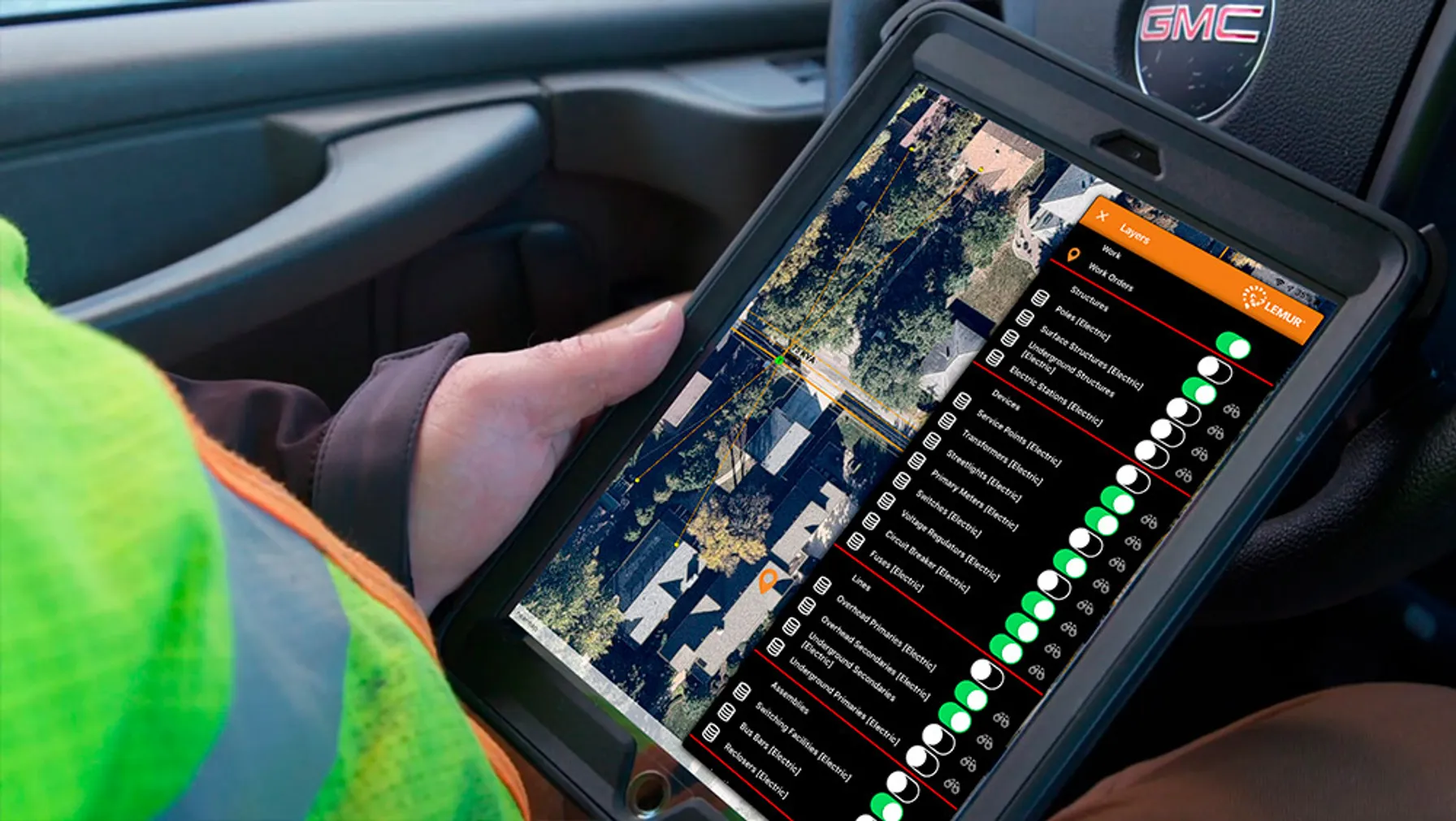
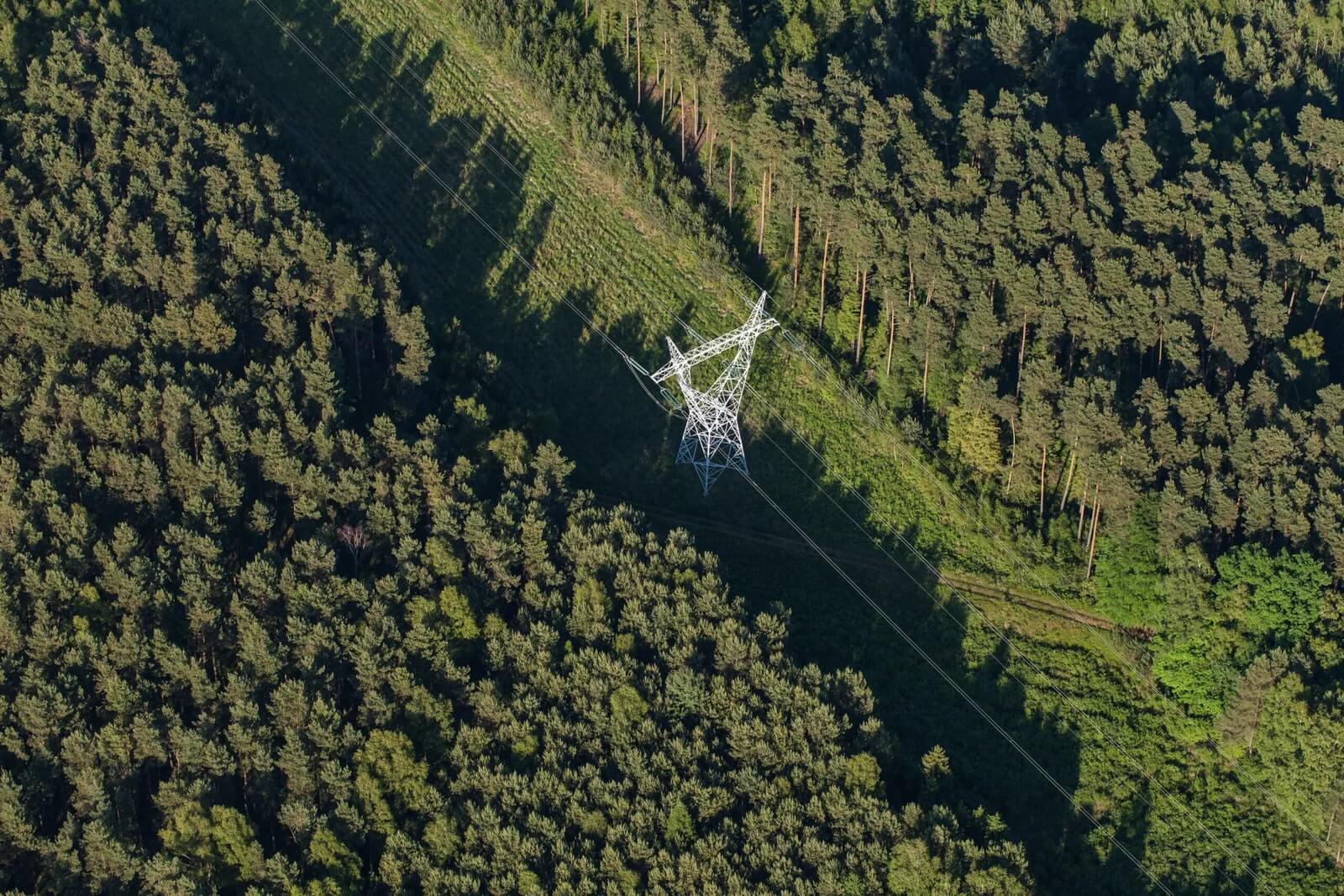
Mobile solutions for survey, collection and field services are core to what TRC offers, from products like Lemur mobile mapping and FieldOn to custom apps. Extend the benefits of location-based data to the field using:
- Aerial collection (UAS, Drone)
- Terrestrial collection (streetside, SFM)
- GPS/LiDAR Collection and Mobile App Support
- Workflows support
- Vegetation management
- Asset management
- Facility management
- Construction monitoring
- Field audits
- Right-of-way
- Utility surveys
- Site inventory
- Field Solutions
- Lemur platform
- FieldOn
- Collector
- Survey123
- QuickCapture
- ArcGIS Earth


Frequently Asked Questions
Get the answers to commonly asked GIS questions from the experts at TRC.
For modern businesses, geospatial technologies are essential for improving decision-making, optimizing operations and managing assets. They enable companies to use location-based data and analytics to gain insights, improve efficiency and maximize performance across sectors like utilities, government, clean energy and construction.
TRC’s geospatial solutions help businesses by integrating advanced technologies like GIS, AI, and ML to streamline operations. By leveraging data visualization, analytics and custom applications, TRC helps organizations streamline workflows, monitor assets and make data-driven decisions that improve efficiency and performance.
TRC uses a suite of advanced technologies in its geospatial solutions, including Esri’s ArcGIS Utility Network, cloud-native architectures, AI, ML and mobile platforms like Lemur for field data collection. These tools enable TRC to offer cutting-edge solutions that modernize IT infrastructure, enhance data management and improve operational efficiency.
TRC’s geospatial solutions are designed to integrate seamlessly with other
enterprise systems, including supervisory control and data acquisition
(SCADA), automated distribution management systems (ADMS), and
asset management platforms. This integration ensures that businesses can leverage location-based insights across all functions, enhancing data sharing, decision-making and overall operational efficiency.
TRC integrates AI and ML into its geospatial solutions to automate processes, enhance predictive analytics, and drive innovation. These technologies help businesses analyze large datasets, reveal patterns and generate insights that enable smarter decision-making and improved operational performance.
Markets We Serve
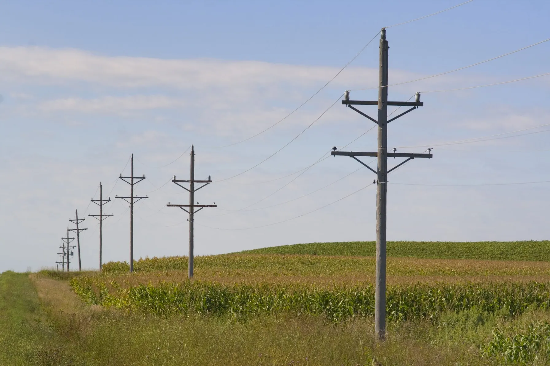
Utilities
With decades of geospatial experience, TRC has helped electric, gas and water/wastewater utilities, as well as telecommunications firms worldwide transition from legacy software to fully integrated, modern GIS. Take advantage of our leadership in utility solutions and services with a track record of proven enterprise implementations built on technical expertise and innovation.
TRC helps utilities:
- Optimize operations
- Increase safety/reduce risk
- Lower costs/increase revenue
- Improve service reliability
- Enhance customer care

Government
For decades, TRC has partnered with federal, state and local departments to transform how they operate and serve constituents with modern, agile geospatial solutions. More agencies than ever leverage TRC’s knowledge and experience to advance enterprise geospatial programs and launch projects based on trustworthy data.
TRC helps government agencies:
- Improve decision-making about communities with real-time maps
- Gain an integrated data picture of forests, infrastructure and more
- Monitor activities with data models, dashboards and visualizations
- Modernize operations such as inspections, maintenance and construction
- Support workflows with descriptive, historical and predictive analytics

Commercial Business
While many companies today recognize the value of geospatial services, they often lack in-house know-how or capacity. That’s why TRC is the right choice for commercial businesses. We bring the power of location to big ideas. We listen, learn, design, develop and deploy spatial capabilities to deliver differentiated products and services.
TRC helps businesses:
- Bring location-based products to market faster
- Reimagine business models using geospatial capabilities
- Create engaging digital experiences using maps
- Exploit the location information from corporate databases
- Incorporate trusted data and technology components

Clean Energy
As the cost to produce clean energy decreases, companies need comprehensive network models to support the inclusion of renewable energy sources. TRC has worked with companies worldwide to leverage spatial analysis and data visualization for improved insights. TRC’s services help achieve business objectives and better serve customers.
TRC helps:
- Identify areas for potential business growth
- Analyze and understand solar, wind, and hydro sources
- Use location intelligence to perform siting identification
- Measure, monitor and report information with maps
- Create plans for dealing with energy diversification

Construction
TRC removes barriers to modernizing IT infrastructure. We connect systems, applications and data so companies can focus on successful project deployment—and customer needs. We deliver services and support for many leading project control solutions, including Oracle Primavera P6, Unifier, Deltek Cobra, Open Plan, Acumen, PRISM and more.
TRC helps construction companies:
- Integrate and streamline processes
- Improve planning and scheduling
- Track resources, assets and progress
- Enhance communication and collaboration
- Reduce costs and avoid delays

Nonprofit
Geospatial capabilities and location intelligence provide the perfect solution for nonprofits and NGOs to deliver on goals that impact people and communities. Using maps and location analytics, they can fully support their programs—and make a positive impact in the world.
TRC helps nonprofits:
- Meet mission mandates
- Increase operational efficiency
- Improve resource allocation
- Enhance stakeholder engagement
- Boost communication and collaboration

Transform Data Into Insights With TRC
As a GIS services company, TRC offers a complete selection of solutions to support organizations across industries. Our expertise and advanced technology enhance outcomes no matter the service sought. It allows you to leverage geospatial information more effectively to enhance decision-making and save time and money. Contact us for GIS strategy, managed services, field collection solutions and more.
Download our White Paper
To learn more about how integrated IT/OT/GIS systems enhance utility performance and decision-making.

Sharing Our Perspectives
Our practitioners share their insights and perspectives on the trends and challenges shaping the market.

Insights
The Transformative Benefits of 3D Facility Mapping for Utilities
June 26, 2025
Discover how modern 3D facility mapping empowers utilities to modernize infrastructure, improve asset management, and enable remote workflows with accurate digital twins, delivering cost savings and operational efficiency.

White Papers / Reports
Why Utilities Need a Comprehensive Data Management Strategy
June 17, 2025
Though traditionally late adopters, most utilities today are evaluating, if not implementing, digital technologies.

Insights
How to Build Resiliency Through Innovation—and Why It Matters Now More Than Ever
May 8, 2025
Around the world, resiliency matters more than ever for utilities. Consider this—In 2024, the U.S. experienced 27 separate billion-dollar weather and climate disasters, the second-highest number on record.

Insights
Exceed Compliance Demands and Improve Leak Survey & Management with Mobile Asset Mapping
April 30, 2025
Leak detection and management is one of the most critical functions for utility companies managing gas infrastructure. As regulatory pressure mounts and public expectations shift, utility operators face a new era where legacy leak survey workflows are struggling to keep up

Insights
Grid Resiliency: Perspectives Across the Power Grid
April 16, 2025
In today’s changing energy landscape, grid resiliency is a top priority for all power system owners and operators. The ability to absorb disruptions and maintain power is crucial in an increasingly unpredictable world.

Insights
Why Utilities Need to Embrace “Control Rooms of the Future” Today
April 9, 2025
The business of utility operations has dramatically changed in the last decade. Managing grid operations, integrating distributed energy resources and ensuring affordable service involves making sense of massive data so business leaders, operational staff and field crews can operate more effectively.

Insights
How UK Utilities Can Create Business Value from Smart Metering Data
April 8, 2025
As the UK modernizes its energy infrastructure, smart metering systems have become crucial in forecasting, adapting and managing energy consumption. These advanced digital devices provide real-time data, enabling utilities and consumers to monitor energy usage more effectively.

Insights
Take the Right Approach to Implementing DERMS
March 27, 2025
Implementing DERMS can come with challenges. By understanding the unique challenges related to DERMS and adopting the appropriate strategies to mitigate potential pitfalls, utilities can effectively integrate and coordinate DER deployment to align with regulatory commitments and broader business objectives.


Insights
How ISOs, RTOs and Utilities Can Effectively Manage Massive Data
March 20, 2025
In today’s rapidly evolving energy landscape, Independent System Operators (ISOs), Regional Transmission Organizations (RTOs) and utilities face unprecedented challenges in managing vast amounts of data.


Insights
How to Reduce Risk in Control System Implementations
February 7, 2025
Control rooms serve as the nerve centers of utility operations, orchestrating the interplay of power generation, transmission and distribution. The “control room of the future” represents technology innovation and integration, combining advanced software systems, real-time data analytics and sophisticated visualization tools.

Insights
How DERMS Delivers Modern Utility Management
February 5, 2025
Today’s utilities are inundated with data—from sensors, smart meters, EVs, distributed energy resources, and more. But collecting data isn’t the challenge—managing it is. Without a comprehensive data management strategy, utilities risk: Missed opportunities for grid modernization Inefficient operations and rising costs Increased exposure to compliance, cybersecurity, and reliability risks This white paper outlines how utilities can shift from data overload to data-driven decision-making—transforming fragmented systems into a unified, strategic foundation for innovation and performance. What you’ll learn: Why utilities must treat data as a business-critical asset The 5 essential steps for building a resilient data strategy How better data governance improves forecasting, customer service, and asset management Where to focus first to support AI, cloud adoption, and DER integration


Insights
What Is Grid Modernization?
December 2, 2024
Today’s utilities are inundated with data—from sensors, smart meters, EVs, distributed energy resources, and more. But collecting data isn’t the challenge—managing it is. Without a comprehensive data management strategy, utilities risk: Missed opportunities for grid modernization Inefficient operations and rising costs Increased exposure to compliance, cybersecurity, and reliability risks This white paper outlines how utilities can shift from data overload to data-driven decision-making—transforming fragmented systems into a unified, strategic foundation for innovation and performance. What you’ll learn: Why utilities must treat data as a business-critical asset The 5 essential steps for building a resilient data strategy How better data governance improves forecasting, customer service, and asset management Where to focus first to support AI, cloud adoption, and DER integration

News
TRC Acquires Garanzuay Consulting, Amplifying TRC’s Energy Transition Consulting Services in Europe
September 26, 2024
Garanzuay Consulting provides a foundation in Ireland to continue TRC’s growth and expansion in Europe in support of the energy transition for all energy market participants.


Insights
Achieve Superior Asset Data Quality by Combining SAP with Lemur Mobile Mapping
September 23, 2024
Utilities struggle with asset data, which impacts every aspect of their business. Market priorities like grid modernization, decarbonization and increased energy demand only compound the problem of poor data quality.


News
TRC Helps Secure $4.4 Million Grant for Otter Tail Power Company’s Next-Generation Grid Resiliency Program
May 2, 2024
Today’s utilities are inundated with data—from sensors, smart meters, EVs, distributed energy resources, and more. But collecting data isn’t the challenge—managing it is. Without a comprehensive data management strategy, utilities risk: Missed opportunities for grid modernization Inefficient operations and rising costs Increased exposure to compliance, cybersecurity, and reliability risks This white paper outlines how utilities can shift from data overload to data-driven decision-making—transforming fragmented systems into a unified, strategic foundation for innovation and performance. What you’ll learn: Why utilities must treat data as a business-critical asset The 5 essential steps for building a resilient data strategy How better data governance improves forecasting, customer service, and asset management Where to focus first to support AI, cloud adoption, and DER integration

Insights
Shifting to the Cloud: Debunking the Myths of Migrating Utility Data Off Premises
April 14, 2024
This blog delves into common misconceptions surrounding cloud migration in the utility industry, addressing concerns about security, reliability, regulatory compliance, cost effectiveness, and complexity, while highlighting the substantial benefits and strategies for successful adoption.


News
Locana Awarded Modern Network Management at Esri Infrastructure Management and GIS Conference
November 22, 2023
Locana, an international leader in spatial technology, received the Modern Network Management Award at the 2023 Esri Infrastructure Management and GIS (IMGIS) Conference held in Palm Springs, California, October 10-12, 2023.


White Papers / Reports
Advanced Metering Infrastructure (AMI) – How Smart Should A Smart Meter Be?
June 26, 2023
According to the Edison Foundation’s Institute for Electric Innovation, over 124 million smart meters were expected to be installed in 78 percent of US households by the end of 2022.

Insights
Modernize Your Field Services with GIS and Work Order Management Combined
June 15, 2023
The role of field service management continues to dominate the world economy, as the market grows at an exponential rate. The market was estimated at 3.2 billion in 2021 and is projected to reach 5.7 billion by the end of 2026.


Insights
Harness the Power of Geospatial Data to Unlock Big Data Insights
March 16, 2023
For years, companies have been harnessing big data to glean insights that improve decision-making of every kind and at all levels, from entering new markets to building better products to delivering better services and experiences.

News
TRC and Greenbird Partner to Accelerate Grid Modernization for Utilities
January 31, 2023
Today TRC Companies (“TRC”) announced a go-to-market partnership with Greenbird Integration Technology, a leading integration technology provider based in Norway. Greenbird’s Utilihive platform enables utilities to accelerate their digital transformation and grid modernization efforts.


Insights
The Use Case Benefits of GIS Modernization for Utilities
August 10, 2022
Today’s utilities are inundated with data—from sensors, smart meters, EVs, distributed energy resources, and more. But collecting data isn’t the challenge—managing it is. Without a comprehensive data management strategy, utilities risk: Missed opportunities for grid modernization Inefficient operations and rising costs Increased exposure to compliance, cybersecurity, and reliability risks This white paper outlines how utilities can shift from data overload to data-driven decision-making—transforming fragmented systems into a unified, strategic foundation for innovation and performance. What you’ll learn: Why utilities must treat data as a business-critical asset The 5 essential steps for building a resilient data strategy How better data governance improves forecasting, customer service, and asset management Where to focus first to support AI, cloud adoption, and DER integration
News
Brookings Municipal Utilities Streamlines Processes, Boosts Efficiency with Modern GIS
June 14, 2022
Locana, a global leader in technology consulting and geospatial systems development, announced Brookings Municipal Utilities (BMU) successful deployment of a modern geospatial enterprise leveraging Locana services.
News
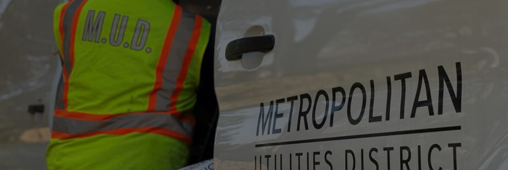
Omaha Metropolitan Utilities District Drives Reliable Operations with Locana Lemur Mobile GIS Solution
June 8, 2022
Locana, a global leader in technology consulting and geospatial systems development, today announced the successful deployment of its LemurSM Solution by Omaha Metropolitan Utilities District (M.U.D.).


News
Locana Awarded Wildlife Habitat Analysis Task Order For The Bureau Of Land Management
April 27, 2022
Locana, a leading geographic data and technology company, has won a 10-year National Geospatial Data and Technology Support Services contract for the U.S. Bureau of Land Management (BLM).

News
TRC Selected as Systems Integrator for Otter Tail Power Company’s Advanced Metering Infrastructure Program
April 5, 2022
Otter Tail Power Company selects TRC to serve as systems integrator for their AMI program covering northwestern Minnesota, eastern North Dakota, and northeastern South Dakota.


Insights
Six Considerations for a Successful Utility Network Cloud Implementation
October 26, 2021
For any GIS manager or IT professional tasked with implementing ArcGIS Utility Network (UN), knowing where to start can be daunting. If not properly planned, a UN setup in the cloud can be significantly more expensive and less accessible, stable, and secure.

Insights
On the Road to Decarbonization: The Role of All-Source Competitive Solicitations
October 14, 2021
All-Source Competitive Solicitations offer utilities an alternative to centralized planning, construction and dispatch of power supplies, helping to usher in a new era of market-driven technology innovation.

Insights
Amplifying the Next Phase of Fleet Electrification: The Pickup
September 30, 2021
TRC’s analysis for one client fleet shows that even a $70,000 EV can compete on cost with a comparable gas-hybrid vehicle priced at $40,000 – at least in California where upfront and ongoing incentives stack up quickly.
News
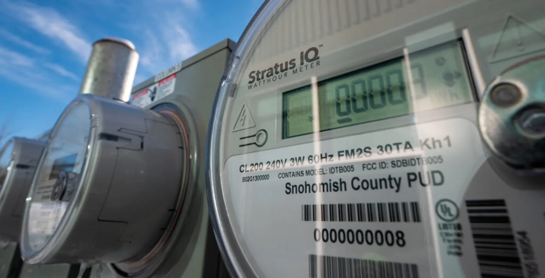
TRC Digital Selected by Snohomish County Public Utility District to Implement Siemens EnergyIP® Meter Data Management
September 15, 2021
Snohomish PUD selected TRC to implement, integrate and deliver their meter data management system (MDMS) on the Siemens EnergyIP® platform as a part of the utility’s Connect Up program.

News
Oklahoma Gas & Electric Company uses AI to assess and repair distribution pole damage
August 4, 2021
As part of its grid enhancement program, OG&E will leverage collaborative AI-powered image recognition technology that enables engineers to complete distribution pole inspections with greater accuracy and helps to reduce manual review of images.


Insights
Reasons for IT/OT Modernization
August 1, 2021
Opposites attract, and information technology (IT) and operational technology (OT) are no exception. At one end of the digital grid sits IT as a business application, while OT exists at the other end of the digital grid as an asset-oriented application. For decades, IT and OT have been operating separately and are often physically isolated.


Insights
IT/OT Convergence Best Practices
August 1, 2021
A successful IT/OT convergence strategy involves identifying desired outcomes, managing the fragmentation of OT solutions, and developing common key performance indicators (KPIs) for both IT and OT teams. This approach helps in optimizing resources, driving effective collaboration, and ensuring a smooth transition towards a unified IT/OT environment.


News
TRC Acquires Montreal’s Quatric, Expanding Digital Capabilities for Utilities
June 16, 2021
Today, TRC announced the expansion of its digital capabilities with the acquisition of Quatric, a Montreal, QC and Quincy, MA-based firm that provides engineering services and technology solutions to electric and gas utilities.

Insights
What’s Next? Preparing for Utility Network Migration
May 12, 2021
In preparing for Utility Network Migration, taking an intermediate approach will allow you to resolve some key points. Utility Network Migration will run smoother if you build a “sandbox environment” and begin to 1) prioritize features 2) explore licensing options and 3) practice moving data.

Insights
5 Persistent Questions About ArcGIS on HANA
April 9, 2021
While ArcGIS on HANA implementation patterns are emerging rapidly, we continue to hear 5 persistent questions about how implementing ArcGIS on HANA would benefit an organization. Let’s walk through these 5 questions, I’ll show you how we help you get started with ArcGIS on HANA. Then you may realize the benefits this solution promises.


News
TRC Digital partners with Dominion Energy to evolve its distributed energy resource strategy
September 22, 2020
Dominion Energy, one of the nation’s largest producers and transporters of energy, has partnered with TRC Digital to evaluate, implement and integrate technology to further the utility’s distributed energy goals. TRC Digital will facilitate Dominion Energy’s strategy development and technology execution, allowing Dominion Energy and its customers to accelerate the shift to distributed energy resources (DER) and net carbon reduction.

Insights
TRC Digital and Reactive help utilities measure inertia for a more resilient grid
September 21, 2020
Together, TRC and Reactive combine TRC’s industry-leading power engineering expertise with Reactive’s machine learning software to provide utility teams with high-resolution frequency monitoring and automatic event analysis.


Insights
TRC Digital Partners with Treverity to Put Utility Engineers at the Center of Their Data
June 26, 2020
As part of TRC’s LineHub solution, Treverity helps transmission engineers get a holistic view of the grid through powerful digital data visualization and a customer-centric user interface.


Insights
TRC Digital and Enbala can help utilities monitor, control and optimize distributed energy resources
April 17, 2020
Distributed energy resources (DERs) are changing the way utilities think about power generation and energy flow. TRC and Enbala can offer utilities a multi-layered solution that highlights the strengths of each company.