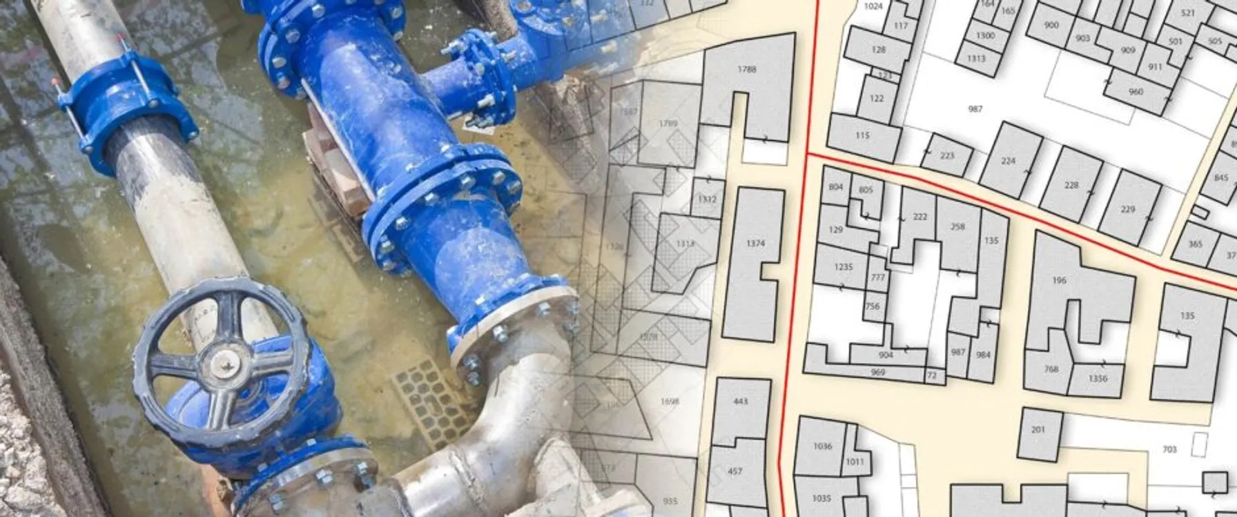
Integrate your scheduling system with GIS to map all aspects of how and when a project will be built. Identify scheduling dependencies, conflicts, and opportunities between different functions within your construction program. For example, flag an area on the map where a scheduling conflict has led to construction activities beginning before completing a site survey.
This article was originally authored by Locana, which is now part of TRC.
Leverage the power of location to connect systems and visualize data for improved decision making.
Despite the ups and downs of a global economy, the construction industry continues to grow. Between now and 2027, an estimated $130 trillion will be spent on capital projects. From building new structures to upgrading infrastructure, companies must meet the ever-increasing need for capital projects while operating smarter, faster, and leaner.
And as more enterprise technologies emerge in the construction industry, the inherent issue of multiple systems, siloed applications, and data redundancy often leads to a lack of clarity and confusion rather than improved decision making.
Yet extracting powerful insights from complex IT environments—and enabling optimized decision support for all aspects of construction—is attainable without replacing existing systems and spending large sums on additional software. Using a geographic approach underpinned by GIS technology, companies can integrate business systems to streamline and simplify data using location, as well as take advantage of location analytics and map-based visualization across project teams. Doing so can maximize the value of your existing IT investments, replacing data redundancy and inaccuracy with timely, complete, and actionable information.
Specifically, modern GIS allows construction companies to make more informed decisions, identify issues and opportunities, and respond quickly and efficiently to ever-changing conditions on the ground. Using GIS technology, they can communicate effectively across teams and with stakeholders and communities.
Related Services
Lots of data. Little insight.
Despite employing a growing list of systems, decision making can become an overly complicated process for many construction enterprises. Often, multiple project teams lack access to the same data because they operate using independent applications, which leads to different data, including cost, financial, and scheduling data, all sitting in separate silos. In addition, respective teams manage different versions of the same data, resulting in out-of-date, incomplete, conflicting, or redundant information.
What’s lacking is a means to connect systems, view and analyze integrated data, and share results across groups, so everyone operates using the same information. Enterprise GIS delivers in these areas.
Geospatial solutions and services provide a richness of analysis and visualization that maximizes the value of your data. And the intuitive nature of maps means that finding insights and answers becomes easier for everyone, from the department head to the engineer to the field inspector and everyone in between.
With modern GIS, you can:
- Optimize strategic planning and scheduling
- Improve tracking resources, assets, and progress
- Synchronize and simplify processes
- Improve decision making and communication
- Reduce the risk of project overruns
Yet budgetary and time pressures can make companies think that the upfront investment is too costly or involves risk. They resist change because there’s a perception it requires spending precious resources and time installing another solution. And companies often adhere to existing processes in place for years, if not decades, because they have proven to work in the past.
This is where modern GIS can make a difference. The geospatial industry is at an inflection point, with location-based technology becoming a mainstream core of IT systems. And though adopting geospatial solutions require an initial investment, it ultimately saves time and money from collaboration and insights gained across projects.
When you employ location-based solutions throughout your project—whether for highways, rail projects, or a multi-story building—staff can identify problems, generate ideas, and discover opportunities in ways Gant charts, spreadsheets, and traditional tools can’t.
Enable better integration and analysis
With an enterprise GIS approach, you deploy location-based technology as an IT hub versus stand-alone software, operating as a core business system built around industry standards and embracing intuitive, web-based functionality. With an estimated 80 percent of all data having a location component, GIS serves as a natural integration point for your business systems. It supplies a vital decision support tool by answering the “where” aspect of any question.
In addition, GIS allows you to share using web services and integrated databases, working as part of the master data management center instead of a siloed center of expertise. It connects to other enterprise asset management and project control systems to allow project teams to see their data from disparate systems in a single place. Functionality that once involved command line knowledge of GIS-specific programming language has been replaced with intuitive, web-based functionality built around current IT standards; it’s no longer a stand-alone solution with a siloed team of analysts creating maps and performing analysis.
With GIS enabling smart integration, you can make better decisions. You increase visibility, transparency, as well as quality assurance, and control from planning to execution across project and asset lifecycles. You also supply teams with geo-enabled intelligence that optimizes resources and supports field tasks for continuous project improvement. And you instantly synchronize people, processes, and workflows to save time and money while reducing risk.
Moreover, construction staff can take advantage of in-depth location analytics to manage large, complex events and combine data from various sources into one view. You can take advantage of a geographic context to mitigate risk and solve problems on projects and the surrounding infrastructure, environment, and people.
You can answer questions such as:
- Do I need to develop new roads or change existing ones?
- How do I account for increased traffic?
- What additional electric, gas, and water networks are required?
- What is the environmental impact on the surrounding area?
- Is the new project in a flood, fire, earthquake, or other high-risk zones?
Clarity Through Integration
From a road network to a rail project, new building, site remediation, and more, GIS provides the ability to bring location data and analysis into one system for improved workflows. You can map and assess needs and opportunities quickly and efficiently. In addition, you can identify potential problems and innovative solutions that maximize value to your customer. With modern GIS connecting systems and providing better analysis, you can improve multiple functions, including:
When you integrate diverse datasets and visualize them on a map with a shared view, you ensure various teams operate using the most timely and accurate data possible. You provide a robust visualization tool for project managers to track progress. Real-time data sources can be included, with targeted dashboards providing a concise view of the entire program.
You can map activities, such as if you have an ecological or a geotechnical site survey, and identify potential issues, such as a scheduling conflict or lack of necessary approvals, tools, and resources, before work begins. GIS integrates your environmental data with street and utility networks, demographics, and assets for a fully integrated view.
Track every aspect of your construction project using up-to-date data, including information collected in the field and shared throughout the enterprise. Capture historical information, monitor performance, and maintain inventory throughout the project. Leverage visualization tools and dashboards to identify areas of greatest need or leverage mobile mapping solutions to eliminate manual data entry and accelerate project progress.
Partner With A Leader In Geospatial For Construction
For businesses looking to learn more about GIS for construction, TRC Companies can help.
With decades of international service, TRC will partner with you to deploy a modern GIS platform tailored to your unique business. Our world-class geospatial professionals have worked on some of the most advanced engineering and construction projects in the world—and are available to apply that first-hand knowledge to your solutions. We offer the complete lifecycle of GIS services, from systems strategy to design, build, configuration, integration, adoption, and support.
You’ll access industry-leading IT consultants, project managers, GIS and open source experts, and project management professionals proficient in leading technology advancements and proven best practices. And with valued partnerships with enterprise companies such as Oracle, IBM, and SAP, you will seamlessly connect your GIS software with your enterprise systems. You’ll possess the right tools and data that cut-through complexity and provide the decision support you need to complete projects on time, on budget, and with minimal risk.
To find out more about how you can deliver projects on time and budget with modern GIS solutions, contact us today or visit our services page.

Adapt to
Change
Partner With TRC’s Tested Practitioners


