


United States
Challenge
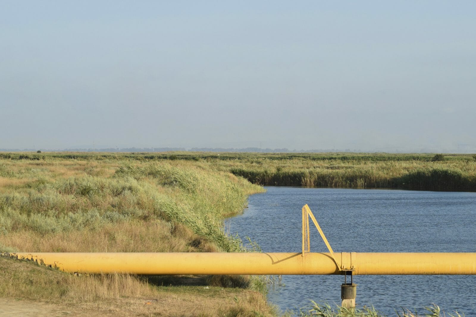
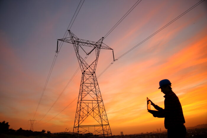
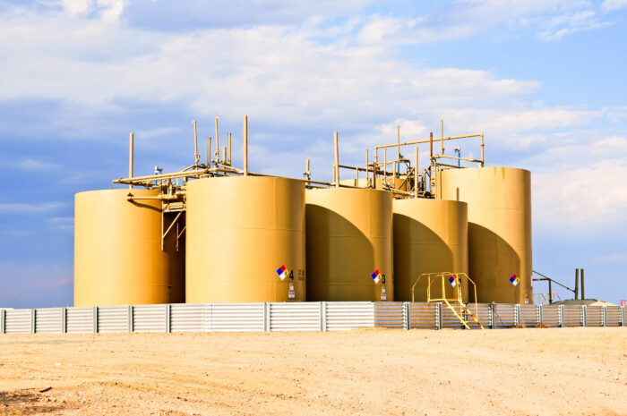
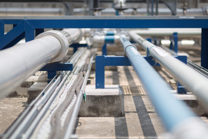
Prior to the new regulations for gas pipelines published October 2019, several operators got a head-start on the MAOP (maximum allowable operating pressure) and TVC (traceable, verifiable and complete) portions of the Gas Mega Rule. This can be a strenuous task of record discovery, scanning/indexing and record data management, which is often beyond the in-house manpower available for this type of work.
Related Services

Solution
In 2013, TRC was tasked with performing feature assessment and MAOP validation activities to identify traceable records. This process validated the historical records and linked them to the features that they described along the pipeline. Our team designed and deployed an Esri PODS spatial geodatabase model to support TVC activities. The data identified and developed during MAOP, TVC and feature assessment activities was populated into the GIS database with linkage to each dynamic segment of pipeline in order to view the scanned supporting records and documents.
Results
Upon project completion in 2014, the client’s integrity and operations personnel were provided with an easy-to-use system to access their pipeline data as well as access to the scanned MAOP assessment records which were TVC through a web-based interface with spatial referencing. This provided the client data transparency for easier audits and better visibility to prioritize remediation projects and operate pipelines safely.
Adapt to
Change
Partner With TRC’s Tested Practitioners
Related Projects
Discover the success we’ve had with helping our clients execute major projects and make a meaningful impact on their local communities.

Improving Construction Project Efficiency with FieldOn

Asset Knowledge Management and Creating a Digital Twin
Large-Scale Asset Knowledge Gathering
Emergency Preparedness – Gas Utility ERPs and FEMA ICS Integration

Rapid Response to Unplanned System Disruption Event
Small Pipeline Operator Integrity Management Planning
Sharing Our Perspectives
Our practitioners share their insights and perspectives on the trends and challenges shaping the market.

Connecting Project Data for Better Capital Project Delivery
June 17, 2026
Disconnected systems don’t just create administrative headaches. They directly impact project outcomes, delay decisions, increase the risk of cost overruns and limit the visibility leaders need to manage large capital programs effectively.[

Transform ILI Data into Actionable Insights
March 2, 2026
Move beyond snapshot ILI reports. Leverage run-to-run comparison, corrosion growth rate and statistical evaluation to prioritize repairs, refine reinspection intervals and manage risk with confidence.


Stay on Time and Budget: 5 Key Strategies to Avoid Transmission Line Delays
August 6, 2025
Transmission line projects are the backbone of a modern, reliable power grid—essential for unlocking renewable energy, meeting soaring demand, and keeping the lights on. Yet for utility managers, these builds are a high-stake balancing act.
The What, Why and How of Distribution Integrity Management Programs (DIMP)
May 12, 2025
Around the world, resiliency matters more than ever for utilities. Consider this—In 2024, the U.S. experienced 27 separate billion-dollar weather and climate disasters, the second-highest number on record.

Budgeting to Quality: Construction Project Mistakes & How to Fix Them
April 9, 2025
Managing a construction project is a challenging job that involves careful planning, coordination and problem-solving. Small mistakes cause delays, increase costs, or create safety issues. Learn more about how to avoid some of the most common mistakes in construction management so your projects stay on track and within budget.

PHMSA Bulletin Outlines New Safety Management Advice
March 28, 2025
Cybersecurity threats to the Bulk Electric System (BES) are escalating, with attackers continuously evolving their tactics to target critical infrastructure.

The Power of Precision: Quality Control Tactics for Utility Construction Success
February 14, 2025
In today’s digital age, data centers form the backbone of cloud computing, artificial intelligence and the vast array of digital services we rely on daily. As the demand for data centers rises, companies are racing to expand these facilities.

Enhancing Pipeline Integrity: HVAC/DC Interference Studies and Electromagnetic Fields (EMF) Analysis
January 15, 2025
The increasing presence of HVAC/DC transmission lines in modern power infrastructure has raised concerns about their impact on pipeline integrity. These systems, often co-located within shared corridors, generate electromagnetic fields (EMF) that introduce significant risks such as accelerated corrosion, equipment failures and safety hazards. Addressing HVAC/DC interference is now essential for ensuring long-term pipeline reliability and personnel safety.

The Importance of Effective Construction Management in Data Centers
January 7, 2025
In today’s digital age, data centers form the backbone of cloud computing, artificial intelligence and the vast array of digital services we rely on daily. As the demand for data centers rises, companies are racing to expand these facilities.
Understanding Engineering Critical Assessment: A Guide to Pipeline Integrity
October 4, 2024
Ensuring pipeline integrity in industries such as oil, gas and water transport is essential. One key tool used to assess and maintain the health of pipelines is the Engineering Critical Assessment (ECA).
Planning for Construction Project Success: Common Challenges and How to Overcome Them
September 19, 2024
Construction project planning and scheduling are critical but complex processes that can lead to delays, cost overruns and quality issues. Success requires proper stakeholder communication, resource management, safety prioritization, regulatory compliance and innovative tools and techniques throughout the project’s life, from start to completion.

EPA Issues Regulations for Oil and Natural Gas Sector Tank Emissions
April 30, 2024
Storage Vessel or Tank Battery Operators Must Reduce Emissions by 95%.


PHMSA Gas Transmission RIN2 Rule Now Effective
July 24, 2023
TRC summarizes the revised or added sections of RIN2.

PHMSA Releases Proposed Rulemaking for Pipeline Safety and Gas Pipeline Leak Detection and Repair
June 15, 2023
TRC explains the Proposed Rulemaking for Pipeline Safety and Gas Pipeline Leak Detection and Repair
PHMSA Issues Gas Gathering Final Rule Summary & Requirements
November 30, 2021
PHMSA announced that they issued a final rule that significantly expands Federal pipeline safety oversight to all onshore gas gathering pipelines.

PHMSA Protecting our Infrastructure of Pipelines and Enhancing Safety (PIPES) Act of 2020
June 11, 2021
PHMSA announced it has submitted an advisory bulletin underscoring to pipeline and pipeline facility operators requirements to minimize methane emissions.
DHS Announces New Cybersecurity Requirements for Critical Pipeline Owners and Operators
June 3, 2021
The Security Directive will require critical pipeline owners and operators to report confirmed and potential cybersecurity incidents.


Environmental Compliance Key for Transloading Success
February 24, 2021
Transloading projects that support the transfer of oil from truck to rail and vice versa are an increasing growth opportunity for the rail industry. However, since transfer requires the handling of the goods, transloading can be expensive, and the risk of damage and spills is high.
TCEQ to Assume Oil and Gas Wastewater Permitting from RRC
January 11, 2021
Historically, the Railroad Commission of Texas has been responsible for wastewater permitting of upstream oil and gas facilities under a Memorandum of Understanding with the Texas Commission on Environmental Quality.


Integrity Dig Integrated Services
August 4, 2020
Our Integrity Engineers, Surveyors, Right-of-Way Experts and Environmental Scientists are well-versed in all phases of integrity dig programs from preparing the pipeline for a tool run, interpreting results, verifying proper repair procedures and obtaining federal and state environmental approvals. Our team includes former pipeline operators, survey experts, PHMSA and environmental regulators and trainers. We developed the current ILI training curriculum for PHMSA’s training program.

INGAA Foundation Interview with Lauren O’Donnell
June 22, 2020
TRC’s own Lauren O’Donnell is currently the elected Chair of the INGAA Foundation. The Foundation’s primary activity is to sponsor research aimed at promoting natural gas use and safe, efficient pipeline construction and operation.

Targeting Perfection in the Construction and Operation of Pipelines
October 18, 2019
To have an impact on the delivery or operation of a pipeline, it’s vital to eliminate the intra- and inter-company barriers, including those in the areas of communications, culture and technology.


PHMSA Publishes New Rules to Increase the Safety of Hazardous Liquid Pipelines and Gas Transmission Pipelines
September 25, 2019
The Pipeline and Hazardous Materials Safety Administration this week published important new rules aimed at improving pipeline safety.