United States
The NASA-ISRO SAR (NISAR) Mission, an earth-observing satellite program launching soon, has accepted TRC as an Early Adopter to make use of radar data. TRC will use this data to cost-effectively identify underground leaks from drinking water pipes, helping our clients conserve drinking water, reduce overall energy use and streamline infrastructure repairs.
TRC will analyze radar data to help conserve drinking water and energy by identifying underground leaks.
The NISAR satellite, scheduled to launch in 2024, is a joint Earth-observing mission between NASA and the Indian Space Research Organization (ISRO). NISAR will measure Earth’s changing ecosystems, dynamic surfaces and ice masses providing information about biomass, natural hazards, sea level rise and groundwater, and will support a host of other applications.
The NISAR mission has put out a call for Early Adopters to make use of the satellite’s data. Early Adopters must have a clearly defined need for NISAR data and will provide important feedback to the NISAR team regarding the use of data for existing applications, especially those related to climate.
TRC was accepted as an Early Adopter by identifying an existing use that would benefit from NISAR data: conserving drinking water by locating underground leaks from pipes. We plan to use NISAR data to help clients with water conservation, energy efficiency and climate resiliency.
The Challenge: Identifying Underground Water Leaks
As part of our Advanced Energy practice, TRC supports water and energy utilities with engineering and consulting solutions, helping clients save resources through infrastructure enhancements and energy efficiency programs. An important part of our utility work is providing solutions for water leaks. Because it takes energy to treat, pump and clean water, saving water saves energy.
The potential for water savings in the U.S. is massive. The American Society of Civil Engineers (ASCE) estimates that every day nearly six billion gallons of treated drinking water is lost due to leaking municipal water main pipes in the U.S.
Water loss can have multiple consequences for utilities, including system contamination, decreased revenue, undue stress on source water supplies, unnecessary capital improvements, customer service disruption, and excessive production costs. Due in part to leaks and aging infrastructure, the EPA estimates that the U.S. will need to spend up to $200 billion dollars over the next 20 years to upgrade transmission and distribution systems.
As part of our ongoing work for a large Midwest electric utility, TRC’s engineers researched the most efficient ways to find water leaks. Knowing that satellite radar data could be used to identify underground drinking water leaks, our team proposed mapping leaks for the entire utility territory. This whole-territory aggregated approach would be significantly more cost effective than the current methods for finding and repairing leaks. But acquiring satellite data for a large territory was a challenge.
The Solution: Using NISAR Satellite Data to Locate Leaks
The NISAR satellite will deploy the first radar of its kind in space to systematically map Earth, using two different radar frequencies (L-band and S-band) to measure changes of our planet’s surface, including movements as small as a centimeter. The NASA-ISRO SAR (NISAR) Mission will measure Earth’s changing ecosystems, dynamic surfaces and ice masses providing information about biomass, natural hazards, sea level rise and groundwater, and will support a host of other applications. NASA has identified water resource monitoring as a key application for NISAR data.
NISAR data will be available soon and TRC is proud to be an Early Adopter. TRC will use NISAR data to assist with resource planning efforts for water infrastructure repairs. This application of this technology has the potential to dramatically increase the efficiency of repairs, as it will allow early detection and repair of underground leaks; a utility will no longer have to wait until the leak has surfaced.
Goals and Results: Water Mapping Applications for Utilities Nationwide
TRC’s goal as a NISAR early adopter is to help states, counties and utilities save water, energy and capital by identifying underground drinking water leaks through satellite-provided data. In doing so, TRC intends to create a reproducible process that can be used by utilities nationwide. Potential mapping applications include:
- Data set overlay: Using a water leak location map, a county or state can overlay additional information and then make informed decisions about where to put resources to reduce leaks. Additional overlay information could include economically disadvantaged zones, high-water loss areas and critical infrastructure such as power plants.
- Critical water source analysis: Mapping all water pipes from a critically low water source can identify waste and help save precious resources.
- Water losses by territory: Using this map, a utility or government body can use data to enable large scale decision-making about where to prioritize infrastructure repair resources and better plan for the future.
TRC is actively working with clients to improve water infrastructure resiliency and increase the efficiency of leak repair. With state-of-the-art satellite data from the NISAR program, we will further help our clients future-proof their water supply systems and proactively decide where to focus their resources.
“Water loss is energy loss. By helping utilities identify and repair underground drinking water leaks, we save water resources and the embedded energy within that water.”
Beth Baxter, Associate Director, Energy Efficiency
By planning, designing, and implementing advanced energy programs across the U.S., TRC is helping our clients achieve a clean and equitable energy future for the communities they serve.
For more information, contact us at advancedenergy@trccompanies.com.
Sharing Our Perspectives
Our practitioners share their insights and perspectives on the trends and challenges shaping the market.
Plan, Do, Check, Act: The Importance of Program Evaluation for Energy Efficiency Programs
July 14, 2025
We’re excited to share Episode 8 of TRC’s Energy Talks Podcast, where we’re joined by experts from NEEA and Consumers Energy to explore the vital role of program evaluation in advancing energy efficiency and market transformation.

TRC Earns U.S. Department of Energy (DOE) Qualification to be a Provider of Industrial Assessment Centers (IAC) Equivalent Energy Assessments
September 24, 2024
TRC can now provide IAC equivalent energy audits to small and medium-sized manufacturing (SMM) firms, who can receive grants of up to $300,000 for implementation of audit recommendations.

Utility Carbon Data Management
May 27, 2024
We’re pleased to announce Episode 7 of TRC’s Energy Talks Podcast, where we join experts from utilities and carbon accounting solution providers to discuss how our industry is understanding, measuring, and working to improve our collective carbon footprint.

Empowering Stakeholders to Co-Create Solutions that Address Inequity
April 23, 2024
Addressing inequality and ensuring that the benefits of the clean energy transition are accessible to all requires close examination of long-relied-upon processes that may have hidden inequities ingrained within them.

Monetizing the Environmental Attributes of Building Decarbonization Programs
March 27, 2024
Tune in to Episode 6 of TRC’s Energy Talks Podcast, where we join industry experts from the wholesale energy and environmental commodity markets to discuss how utilities and project developers are valuing the environmental attributes of building decarbonization projects.

Hydrogen Hub Funding Provisions
March 26, 2024
TRC’s panel of practitioners discuss the Hydrogen Hub (H2Hub) funding provisions of the Bipartisan Infrastructure Bill (BIL).
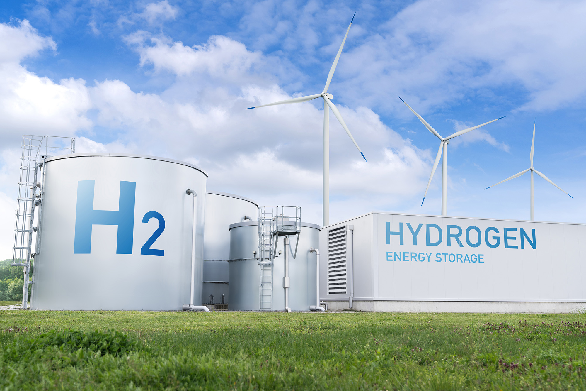
TRC Companies, Inc. selected to participate in Department of Energy (DOE) Multi-State Clean Hydrogen Hub
October 13, 2023
TRC received an award for advancing the transition to a clean-hydrogen, low-carbon economy by supporting the Appalachian Regional Clean Hydrogen Hub (ARCH2) consortium.

Download Whitepaper: 10 Years of Insights for Clean Community Microgrids
March 1, 2023
Clean, community microgrids represent a promising and timely opportunity for you to advance your customer offering and deliver meaningful societal benefits, all while modernizing your grid and providing you with load flexibility.

Start Your Batteries: Mass Fleet Electrification is Coming (And What We Can do to Prepare)
April 13, 2022
As we plan for and make early investments for fleets, we’ll be paving the way for higher degrees of market penetration of passenger vehicles and other modes of transportation as well.

Ensuring a Just Transition: Optimizing Opportunities for All in the Low-Carbon Future
January 24, 2022
Carbon elimination of the magnitude needed to address climate change requires systems-level change that can only be reached by incremental, ground-up progress, building upon what we have achieved thus far.

Decarbonization: A Systems-Level Challenge and Actions to Address Climate Change
December 7, 2021
Carbon elimination of the magnitude needed to address climate change requires systems-level change that can only be reached by incremental, ground-up progress, building upon what we have achieved thus far.

10 Takeaways from the COP26 Climate Meeting
November 17, 2021
There are compelling reasons to be optimistic about the outcomes of the COP26 meeting. Notably, agreement among all nations that more needs to be done, by both private and governmental bodies, to contain and mitigate climate change.
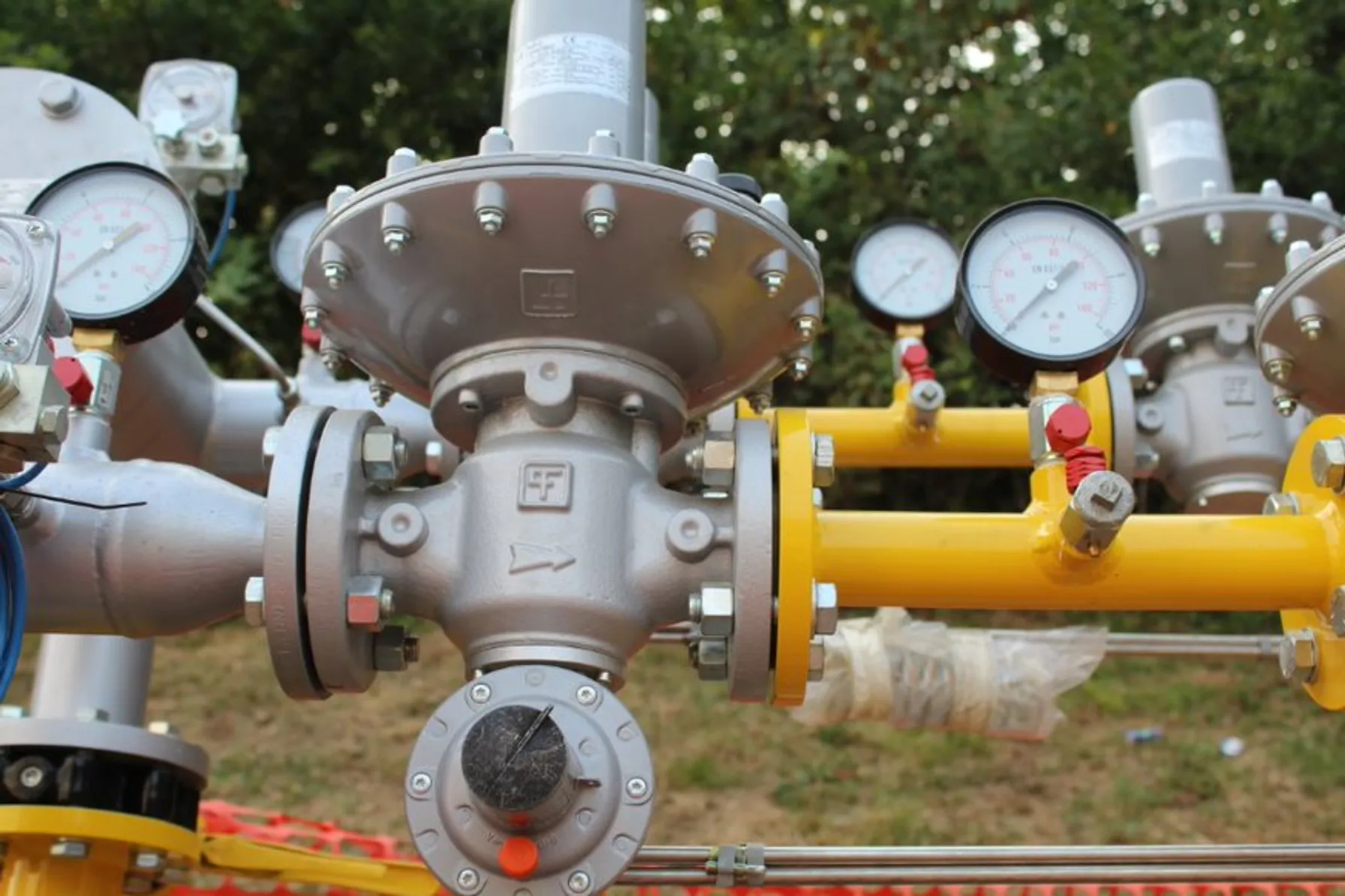
The Price of Natural Gas: Onward and Upward or Just a Temporary Blip?
November 12, 2021
Most industry experts agree that weather aside, the global energy and gas markets are likely to remain uncertain with supply and market demand becoming tighter and more challenging to forecast.

On the Road to Decarbonization: The Role of All-Source Competitive Solicitations
October 14, 2021
All-Source Competitive Solicitations offer utilities an alternative to centralized planning, construction and dispatch of power supplies, helping to usher in a new era of market-driven technology innovation.

Pacific Gas and Electric Selects TRC as Program Implementer for New Construction Residential All-Electric and Mixed Fuel Programs
September 27, 2021
Pacific Gas and Electric Company (PG&E) formally announced TRC as the designated lead Program Implementer for the Statewide New Construction (SWNC) Residential All-Electric and Mixed Fuel Programs following a competitive solicitation process.
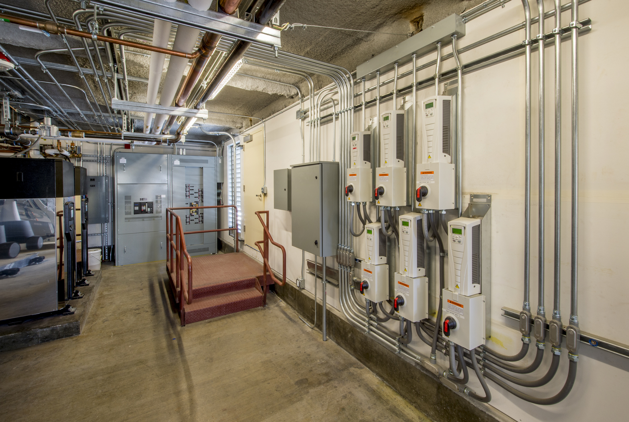
TRC and Slipstream partner with the Minnesota Department of Commerce to launch energy conservation R&D project
June 24, 2021
TRC, Slipstream, and the University of Minnesota are working with controls system manufacturers and contractors to develop such a standardized and streamlined building control retrofit process leveraging ASHRAE Guideline 36

TRC Companies Inc. Acquires EMI Consulting
January 27, 2021
Today TRC Companies (“TRC”), announces the expansion of its advanced energy capabilities with the acquisition of EMI Consulting (“EMI”), a Seattle based firm that consults on the strategic development of clean energy solutions including energy efficiency, demand management, decarbonization and customer engagement.
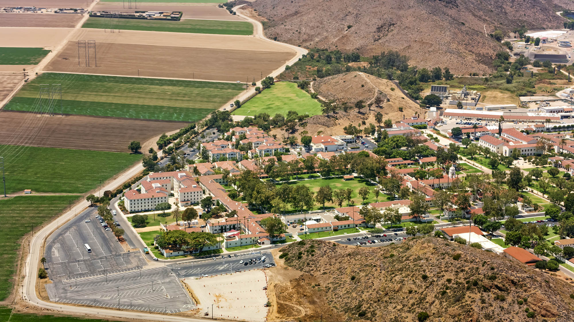
City of Camarillo, California approves moving forward with Hybrid Solar Microgrids at five critical community facilities
November 6, 2020
On October 28, the Camarillo City Council unanimously approved moving forward with the design of Hybrid Microgrids at five City facilities: City Hall, the Corporation Yard, Camarillo Public Library, Police Station, and Wastewater Treatment Plant. The microgrid at the Camarillo Public Library will be designed with solar+storage only, while the other four sites will employ a hybrid design of solar+storage+diesel.

TRC Digital partners with Dominion Energy to evolve its distributed energy resource strategy
September 22, 2020
Dominion Energy, one of the nation’s largest producers and transporters of energy, has partnered with TRC Digital to evaluate, implement and integrate technology to further the utility’s distributed energy goals. TRC Digital will facilitate Dominion Energy’s strategy development and technology execution, allowing Dominion Energy and its customers to accelerate the shift to distributed energy resources (DER) and net carbon reduction.

Strategic Electrification
February 4, 2020
As we look to spur strategic electrification across the US, it will be up energy providers and solution implementers to continue sharing ideas, insights and lessons learned

A place called home: Helping California families rebuild after wildfires
November 21, 2019
A place called home: Helping California families rebuild after wildfires
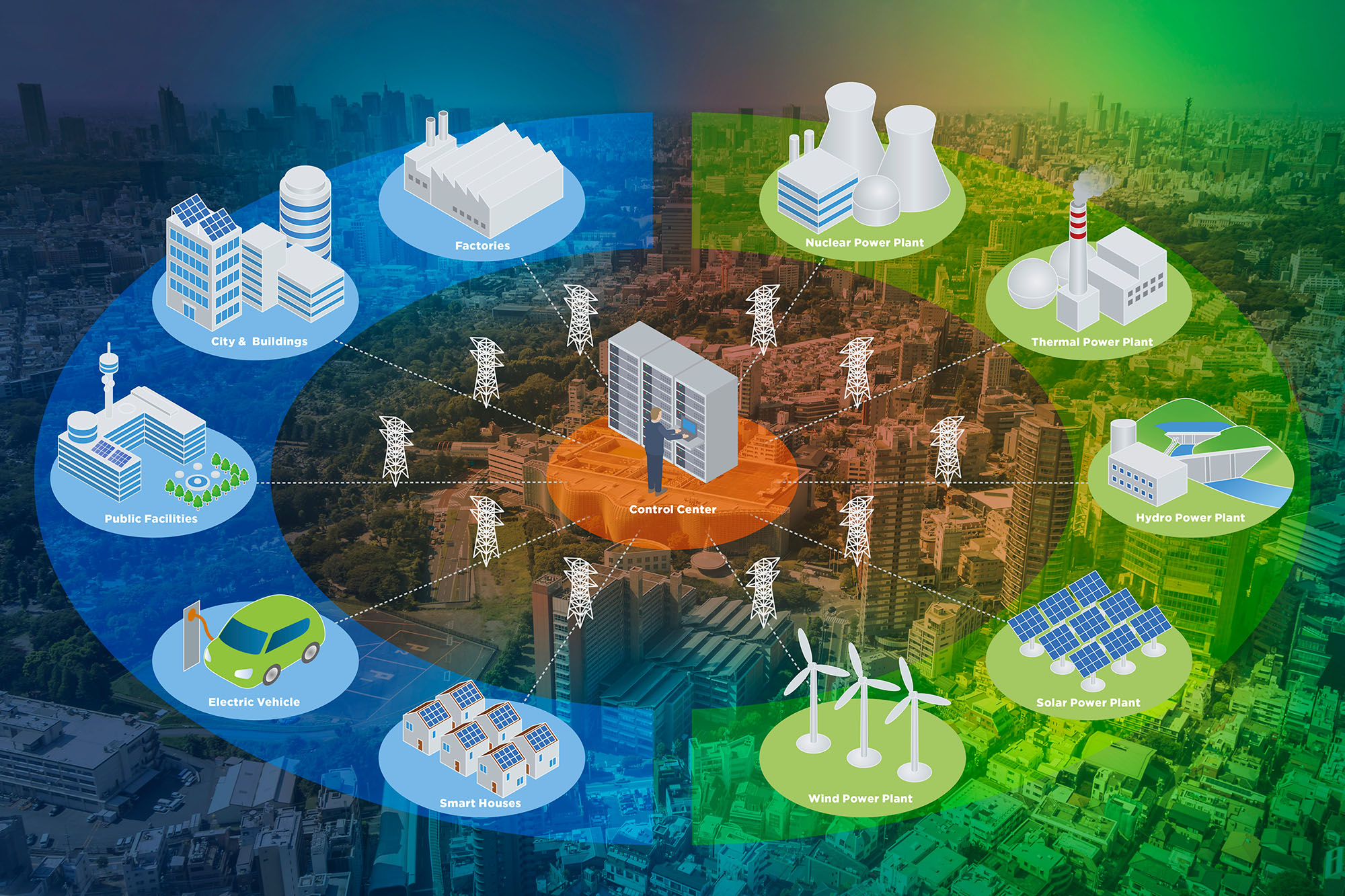
TRC and partners win $1 million grant for engineering innovative New York microgrid
April 20, 2017
TRC is proud to support Huntington, NY bolster power reliability and climate-change resiliency with a sophisticated new “community microgrid’’ combining solar energy, a fuel cell, biogas and traditional natural gas to deliver electricity and heat to local customers and institutions.

Download Whitepaper: 10 Years of Insights for Clean Community Microgrids
March 1, 2023
Clean, community microgrids represent a promising and timely opportunity for you to advance your customer offering and deliver meaningful societal benefits, all while modernizing your grid and providing you with load flexibility.

Start Your Batteries: Mass Fleet Electrification is Coming (And What We Can do to Prepare)
April 13, 2022
As we plan for and make early investments for fleets, we’ll be paving the way for higher degrees of market penetration of passenger vehicles and other modes of transportation as well.

Ensuring a Just Transition: Optimizing Opportunities for All in the Low-Carbon Future
January 24, 2022
Carbon elimination of the magnitude needed to address climate change requires systems-level change that can only be reached by incremental, ground-up progress, building upon what we have achieved thus far.

10 Takeaways from the COP26 Climate Meeting
November 17, 2021
There are compelling reasons to be optimistic about the outcomes of the COP26 meeting. Notably, agreement among all nations that more needs to be done, by both private and governmental bodies, to contain and mitigate climate change.

Amplifying the Next Phase of Fleet Electrification: The Pickup
September 30, 2021
TRC’s analysis for one client fleet shows that even a $70,000 EV can compete on cost with a comparable gas-hybrid vehicle priced at $40,000 – at least in California where upfront and ongoing incentives stack up quickly.
TRC Acquires New Jersey’s Clean Energy Program Contract and Assumes Program Administrator Role
January 17, 2021
NEW BRUNSWICK, NJ and LOWELL, MA. – Jan. 17, 2017 – TRC Companies Inc., a recognized leader in engineering, environmental consulting and construction-management services, today announced it has acquired the contract to serve as Program Administrator of New Jersey’s Clean Energy Program™ (NJCEP), which has provided more than $300 million annually in support to homeowners, businesses…


