White paper reveals how to modernize utility operations using precise location-based models
Utilities around the world must grapple with managing aging infrastructure while maintaining superior service. Traditional 2D-only mapping methods often leave critical gaps in asset data, resulting in inefficiencies, increased risk and missed optimization opportunities. Cutting-edge 3D facility mapping, driven by high-resolution imaging and machine learning, enables utilities to capture comprehensive and accurate facility data quickly and cost-effectively. The benefits abound, thanks to data-driven decision making built on modern technology and intuitive mapping.
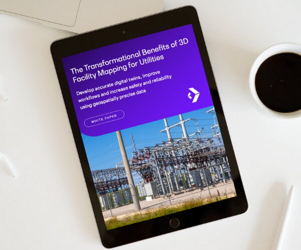
Discover how to modernize and digitally transform using the power of advanced 3D facility mapping in this white paper which reveals how utilities can overcome outdated data and legacy systems to build resilient, future-ready networks that harness geospatially precise digital twins.
Download Our White Paper
Learn how advanced 3D facility mapping helps utilities close data gaps, reduce risk, and optimize operations with geospatially precise digital twins. Download the white paper to discover how to modernize your network with smarter, future-ready asset management.
Embrace The Shift
Partner With TRC’s Tested Practitioners