The utility industry stands at a pivotal crossroads. With mounting pressure to modernize aging infrastructure, comply with stricter regulations and meet the ever-growing demand for affordable and reliable energy, utilities must rethink their approach to asset management and operational efficiency.
Companies are digitally transforming in an effort to modernize networks. One of the more recent innovative approaches involves modern 3D facility mapping. Thanks to breakthroughs in high-resolution imaging, machine learning and geospatial analytics, utilities can now create accurate, dynamic digital twins of their facilities faster and more cost-effectively than ever. This provides new ways to approach problem-solving and decision-making, improving utility workflows and maximizing asset value.
Traditional Facility Mapping Falls Short
For decades, utilities have struggled with the limitations of outdated, incomplete, or low-quality facility data. Inaccurate or missing asset data introduces risk and hampers the ability to respond effectively to maintenance needs or emergencies.
The core of the problem lies in the unique nature of utility assets contained indoors. Unlike outdoor infrastructure, facility equipment such as valves, meters, pipes, switchgear and control panels are located in confined spaces that are difficult to access using traditional mapping methods.
Manual data collection, still common in many organizations, is slow, labor-intensive and prone to human error. Details such as asset make, model, serial number, or precise location are often missing or recorded incorrectly, leading to operational blind spots.
While powerful, traditional mapping technologies like LiDAR have historically been expensive and slow when used across thousands of facilities. A single LiDAR scan can take days or weeks and requires specialized crews. Even when data is collected, it is rarely integrated with GIS or asset management systems in a way that supports ongoing operations. Meanwhile, legacy CAD models, schematics and photographs typically lack the resolution and completeness needed for actionable insights. This prevents utilities from fully leveraging modern geospatial platforms such as Esri’s ArcGIS Utility Network.
The operational impact is significant. Field teams may need multiple site visits to assess equipment, gather the right parts and perform necessary work. Each visit involves travel costs, safety clearances, and resource allocation, compounding inefficiencies. With thousands of facilities in a typical network, keeping records up to date manually is nearly impossible. As a result, data quickly becomes stale, hampering a utility’s ability to plan, maintain and modernize its network.
Key challenges in facility mapping:
- Incomplete or inaccurate network data used to model risk
- High costs and slow turnaround of traditional mapping methods
- Lack of integration with GIS and asset management systems
- Increased truck rolls and safety risks due to poor data
- Difficulty scaling and updating records across complex networks
Modern Technology Transforms Facility Mapping
Recent technological advances have fundamentally changed what is possible in facility mapping. High-resolution 360-degree cameras, sophisticated image processing software and machine learning algorithms now work together to deliver comprehensive, accurate and up-to-date digital twins of utility facilities at a fraction of the time and cost of legacy methods.
- Rapid, High-Fidelity Image Capture
The process begins with high-quality image capture. Teams with 360-degree cameras can walk through a facility, capturing detailed images of every piece of equipment and infrastructure. This process often takes hours instead of days and ensures that every angle and component is recorded. Proper lighting and camera placement guarantee that even hard-to-reach areas are documented, laying the foundation for precise 3D modeling.
- Automated Image Processing and 3D Modeling
Once imagery is collected, advanced software takes over. Using techniques such as structure-from-motion, the software derives 3D coordinates from the images, generating point clouds and detailed wireframes that accurately represent the interior of facilities. Machine learning models then analyze the data, automatically identifying and classifying assets such as valves, meters, pipes and electrical panels.
This automation dramatically reduces the need for manual data entry and ensures that even small or complex components are captured and labeled correctly. The result is a photorealistic, spatially accurate digital twin that includes both location and detailed attribute information for every asset.
- Seamless Integration with GIS and Asset Management Systems
A major advantage of modern 3D facility mapping is the ability to overlay extracted asset data with precise spatial coordinates using GIS applications. For utilities migrating to Esri’s ArcGIS Utility Network, facilities previously represented as simple points or “pseudo nodes” can now be modeled in full detail, with every component mapped and connected to the broader network.
This level of integration supports advanced asset management, network analysis and operational planning. Teams gain the ability to see where a facility is located, as well as precisely what’s inside, how it’s configured and how it connects to the rest of the system.
- Scalable, Repeatable, and Cost-Effective Solutions
Perhaps the most significant breakthrough is the newfound cost-effectiveness and scalability of 3D mapping. Traditional methods might cost $35,000–$50,000 per facility and take weeks to complete. Today’s solutions deliver higher-quality results at less than a quarter of that cost, often in just a few days. This makes it feasible for utilities to scan and update facilities more frequently.
Utilities can opt for initial scans performed by experienced professionals to establish a highly accurate baseline, then transition to in-house teams for routine rescanning and updates. Cameras and software can be rented or licensed as needed, and data can be processed internally or by trusted third parties, depending on organizational preferences and IT strategy.
- Enabling Remote Access and Virtual Workflows
One of the most transformative aspects of 3D facility mapping is the ability to support remote access and virtual workflows. Digital twins allow teams to conduct virtual walkthroughs, inspect assets and plan maintenance or upgrades without ever setting foot on site. This reduces the need for truck rolls, lowers safety risks and dramatically improves operational efficiency.
Virtual reality (VR) overlays can further enhance these experiences, providing immersive, location-accurate views of the facility and its assets. Crews can review work orders, analyze terrain and compare current and historical scans. This improves the organization’s ability to identify issues such as new corrosion, leaks or unauthorized modifications.
- Continuous Data Improvement and Advanced Analytics
With each scan, utilities build a richer, more accurate dataset that can be mined for additional value over time. High-definition imagery enables the extraction of serial numbers, asset IDs, and manufacturing details, supporting sophisticated inventory management and risk analysis.
By employing modern 3D facility mapping solutions, utilities can scan more facilities, more often, in an efficient, cost-effective manner. This translates to fewer site visits, reduced safety risks and more efficient operations.
The benefits of modern 3D facility mapping include:
- Improved data and analytics
- Superior decision-making
- Enhanced network operations
- Predictive maintenance
- Cost and time savings

TRC’s 3D Facility Mapping Solutions
For utilities ready to embrace digital transformation, partners like TRC offer a complete solution for 3D facility mapping and digital twin creation. Combining deep utility expertise with advanced imaging technologies and proven machine learning models, TRC can help utilities generate precise, actionable asset data at scale.
We tailor our approach based on client needs, whether they are modernizing asset management, driving digital transformation or migrating to Esri’s Utility Network. Our 3D station modeling solutions reduce time to value from months to days, enabling rapid, comprehensive image capture and automated asset extraction. Flexible deployment models allow utilities to choose between turnkey services or training internal teams for ongoing image capture and data management.
Our practitioners collaborate closely with utilities to ensure project success, from initial pilot to enterprise rollout. By providing the 3D data foundation for predictive risk assessment, maintenance, regulatory compliance and operational agility, TRC helps utilities build greater resiliency and position themselves for a future of innovation and reliability.
Contact us
Download Our White Paper
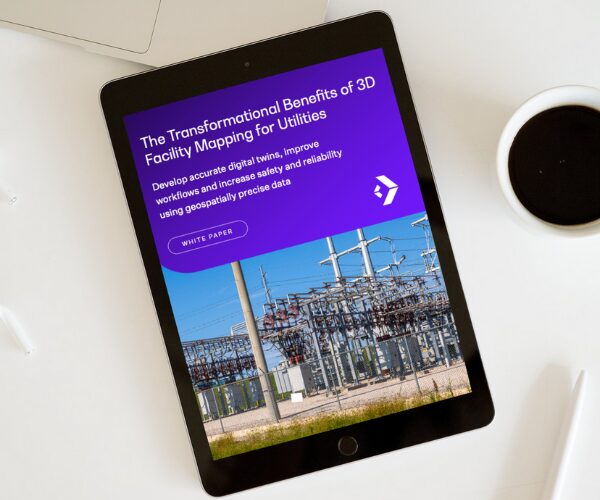
Learn how advanced 3D facility mapping helps utilities close data gaps, reduce risk, and optimize operations with geospatially precise digital twins. Download the white paper to discover how to modernize your network with smarter, future-ready asset management.


